|
search place name
|
||
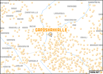
Gāro Shāh Kalle (North-West Frontier, Pakistan)Gāro Shāh Kalle is a town in the North-West Frontier region of Pakistan. An overview map of the region around Gāro Shāh Kalle is displayed below.
regional and 3d topo map of Gāro Shāh Kalle, Pakistan ::
Gāro Shāh Kalle airports ::
The nearest airport is PEW - Peshawar Intl, located 44.2 km south west of Gāro Shāh Kalle.
Other airports nearby include SDT - Saidu Sharif (77.7 km north east), JAA - Jalalabad (111.5 km west), ISB - Islamabad Chaklala (152.5 km south east), MFG - Muzaffarabad (165.5 km east), Nearby towns ::
Kudai Kalle (0.9km south west) //
Gunjai Dāg (1.0km east) //
Kudai (1.3km south east) //
Gandere (1.6km north west) //
Qandhāru (1.8km south) //
Wali Jān Kalle (1.9km south) //
Samander Kalle (1.8km east) //
Ghazan Kalle (2.0km south east) //
Pīrān Kalle (2.3km south east) //
Wazīr Kalle (2.5km south) //
Kochkai (2.5km south) //
Singāpur (2.2km north east) //
Kudai (2.1km east) //
Khāniāri (2.5km north east) //
Ajūn Kalle (2.3km east) //
Muzaffar Khān (2.6km south east) //
Ahsām Korūna (2.4km south east) //
Sālārābād (2.9km south) //
Sāz Gul (2.9km south east) //
Mughal Khān (2.8km south east) //
Sehri (2.6km east) //
Māma Je Kalle (3.2km south) //
Behrām Khān Dheri (2.8km north east) //
Depo Kalle (2.8km east) //
Bangia Kalle (2.8km north west) //
Rāgh (3.1km south east) //
Umar Khān Kili (3.4km south) //
Muhammad Hussain Miān Kalle (3.1km south west) //
Ammer Khān Kalle (2.9km east) //
[all distances 'as the bird flies' and approximate]  Places with similar names to Gāro Shāh Kalle, Pakistan ::
// Qurshāqlū (IQ)
// Garach Kaleh (IR)
// Kārcheh Kolā (IR)
// Qareh Shāh Qolī (IR)
// Qūrshāqlū (IR)
// Qūrshāqlū (IR)
// Qūrshāqlū (IR)
// Qūrshāqlū (IR)
// Krchi-Kulʼ (TJ)
Disclaimer :: Information on this page comes without warranty of any kind |
||
|
Where is Gāro Shāh Kalle? Elevation and coordinates ::
Latitude (lat): 34°21'27"N Longitude (lon): 71°42'34"E
Elevation (approx.): 391m (map arrows pan, magnifying glasses zoom) |
||
|
Visiting Gāro Shāh Kalle? Hotel/Accommodation ::
Book a hotel in Gāro Shāh Kalle Travel Guide ::
Buy a travel guide for Pakistan rental cars ::
car rental offers GPS waypoint ::
download a GPX waypoint (PoI) of Gāro Shāh Kalle for your GPS receiver
|
||