|
search place name
|
||
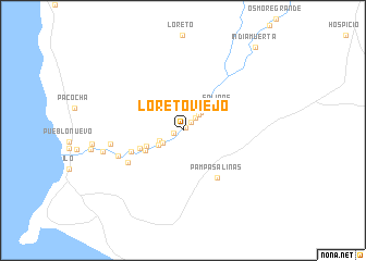
Loreto Viejo (Moquegua, Peru)Loreto Viejo is a town in the Moquegua region of Peru. An overview map of the region around Loreto Viejo is displayed below.
regional and 3d topo map of Loreto Viejo, Peru ::
Loreto Viejo airports ::
The nearest airport is TCQ - Tacna Coronel Carlos Ciriani Santa Rosa Intl, located 113.0 km south east of Loreto Viejo.
Other airports nearby include ARI - Arica Chacalluta (125.5 km south east), AQP - Arequipa Rodriguez Ballon (144.7 km north), Nearby towns ::
Chiviquina (0.4km north east) //
Fundición (0.9km west) //
Ozorin (1.2km north east) //
La Florida (1.8km north east) //
Sausal (2.2km north east) //
El Hueso (2.3km south west) //
Las Pampas (2.5km north east) //
Chaspaya (2.5km south west) //
El Higueral (2.8km south west) //
Olival Nuevo (2.9km north east) //
El Yaral (3.2km north east) //
La Salvadora (3.9km south west) //
Salinas (4.2km north east) //
El Algarrobal (4.2km south west) //
La Compañia (4.6km south west) //
Chiribaya Hacienda (5.5km south west) //
Pampa Salinas (6.0km south east) //
Santo Domingo (6.2km south west) //
Sacramento (6.9km south west) //
El Mono (7.2km west) //
El Majuelo (8.1km west) //
India Muerta (11.1km north east) //
[all distances 'as the bird flies' and approximate] 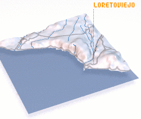 Places with similar names to Loreto Viejo, Peru :: Disclaimer :: Information on this page comes without warranty of any kind |
||
|
Where is Loreto Viejo? Elevation and coordinates ::
Latitude (lat): 17°36'15"S Longitude (lon): 71°13'59"W
Elevation (approx.): 152m (map arrows pan, magnifying glasses zoom) |
||
|
Visiting Loreto Viejo? Hotel/Accommodation ::
Book a hotel in Loreto Viejo Travel Guide ::
Buy a travel guide for Peru rental cars ::
car rental offers GPS waypoint ::
download a GPX waypoint (PoI) of Loreto Viejo for your GPS receiver
|
||