|
search place name
|
||
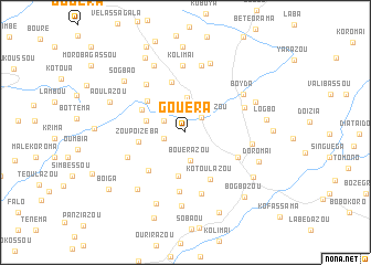
Gouéra (Macenta, Guinea)Gouéra is a town in the Macenta region of Guinea. An overview map of the region around Gouéra is displayed below.
regional and 3d topo map of Gouéra, Guinea ::
Gouéra airports ::
The nearest airport is FAA - Faranah, located 183.9 km north west of Gouéra.
Nearby towns ::
Kourkourassou (2.2km west) //
Ouzaroulazou (2.2km north east) //
Agbalazou (2.4km north west) //
Bouerazou (2.9km south) //
Vonnéssou (3.5km north) //
Oussalazou (4.1km west) //
Ouzézézou (4.5km south) //
Zoupoïzéba (4.8km west) //
Koélazou (4.9km north west) //
Bouldavourou (4.9km north west) //
Fassaziazou (5.3km north) //
Koukouroutazou (5.3km south west) //
Kotoulazou (5.4km south east) //
Sokèlétazou (5.8km south east) //
Ninguemaï (5.8km south east) //
Bouroizeda (6.1km south) //
Bamalassou (6.3km north west) //
Malléma (6.3km south west) //
Zoukouliazou (6.4km south) //
Vassara (6.5km north east) //
Kolimaï (6.8km north) //
Guizéoma (6.8km east) //
Kaizoma (6.9km north) //
Boyda (7.0km north east) //
Darazou (7.4km north) //
Féloussia (7.4km north west) //
Bodolazou (7.5km south) //
Bakoutazou (7.5km south west) //
Assaouma (7.7km south) //
[all distances 'as the bird flies' and approximate] 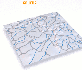 Places with similar names to Gouéra, Guinea ::
Disclaimer :: Information on this page comes without warranty of any kind |
||
|
Where is Gouéra? Elevation and coordinates ::
Latitude (lat): 8°42'21"N Longitude (lon): 9°45'51"W
Elevation (approx.): 679m (map arrows pan, magnifying glasses zoom) |
||
|
Visiting Gouéra? Hotel/Accommodation ::
Book a hotel in Gouéra Travel Guide ::
Buy a travel guide for Guinea rental cars ::
car rental offers GPS waypoint ::
download a GPX waypoint (PoI) of Gouéra for your GPS receiver
|
||