|
search place name
|
||
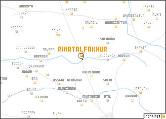
Rīmat al Fakhūr (As Suwaydāʼ, Syria)Rīmat al Fakhūr is a town in the As Suwaydāʼ region of Syria. An overview map of the region around Rīmat al Fakhūr is displayed below.
regional and 3d topo map of Rīmat al Fakhūr, Syria ::
Rīmat al Fakhūr airports ::
The nearest airport is OMF - Mafraq King Hussein, located 58.2 km south west of Rīmat al Fakhūr.
Other airports nearby include DAM - Damascus Intl (64.0 km north), RPN - Rosh Pina Mahanaim I Ben Yaakov (89.9 km west), ADJ - Amman Marka Intl (107.5 km south west), AMM - Amman Queen Alia Intl (132.7 km south), Nearby towns ::
Jadyā (1.9km north) //
Birkat az Zurkā (2.9km east) //
Kafr Lāḩah (4.0km south east) //
Buraykah (4.7km east) //
Al Majdal (5.7km south) //
Şalākhid (6.0km north east) //
Rasm Sibsābah (7.1km north) //
Majādil (7.6km north) //
Salīm (7.3km south east) //
‘Āhirah (7.3km north west) //
As Sijn (7.3km south west) //
Najrān (6.7km west) //
‘Arīqah (7.7km north west) //
Al Mazra‘ah (8.1km south west) //
Riqqat aş Şaqr (7.6km south west) //
Umm az Zaytūn (9.7km north east) //
[all distances 'as the bird flies' and approximate] 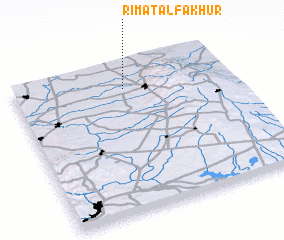 Places with similar names to Rīmat al Fakhūr, Syria :: Disclaimer :: Information on this page comes without warranty of any kind |
||
|
Where is Rīmat al Fakhūr? Elevation and coordinates ::
Latitude (lat): 32°50'0"N Longitude (lon): 36°31'0"E
Elevation (approx.): 849m (map arrows pan, magnifying glasses zoom) |
||
|
Visiting Rīmat al Fakhūr? Hotel/Accommodation ::
Book a hotel in Rīmat al Fakhūr Travel Guide ::
Buy a travel guide for Syria rental cars ::
car rental offers GPS waypoint ::
download a GPX waypoint (PoI) of Rīmat al Fakhūr for your GPS receiver
|
||