|
search place name
|
||
Goronkawo (Gongola, Nigeria)Goronkawo is a town in the Gongola region of Nigeria. An overview map of the region around Goronkawo is displayed below.
regional and 3d topo map of Goronkawo, Nigeria ::

Goronkawo airports ::
The nearest airport is KAN - Kano Mallam Aminu Intl, located 211.5 km west of Goronkawo.
Nearby towns ::
Jugga (5.8km west) //
[all distances 'as the bird flies' and approximate] 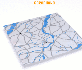 Places with similar names to Goronkawo, Nigeria ::
// Gronkowo (PL)
// Karnkowo (PL)
// Karnkowo (PL)
// Ga-Rankuwa (ZA)
// Ga-Rankuwa (ZA)
// Koro Ngawe (ID)
// Karangawa (LK)
// Kirongwe (TZ)
// Kirungwi (TZ)
// Korongwe (TZ)
Disclaimer :: Information on this page comes without warranty of any kind |
||
|
Where is Goronkawo? Elevation and coordinates ::
Latitude (lat): 11°42'0"N Longitude (lon): 10°26'0"E
Elevation (approx.): 395m (map arrows pan, magnifying glasses zoom) |
||
|
Visiting Goronkawo? Hotel/Accommodation ::
Book a hotel in Goronkawo Travel Guide ::
Buy a travel guide for Nigeria rental cars ::
car rental offers GPS waypoint ::
download a GPX waypoint (PoI) of Goronkawo for your GPS receiver
|
||