|
search place name
|
||
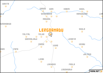
Lergo Amadu (Gongola, Nigeria)Lergo Amadu is a town in the Gongola region of Nigeria. An overview map of the region around Lergo Amadu is displayed below.
regional and 3d topo map of Lergo Amadu, Nigeria ::
Lergo Amadu airports ::
The nearest airport is YOL - Yola, located 163.0 km south east of Lergo Amadu.
Other airports nearby include MIU - Maiduguri (284.0 km north east), Nearby towns ::
Jauro Tuku (1.9km south) //
Garin Batare (1.9km south) //
Lergo Aba (1.8km west) //
Chabal (2.6km south west) //
Yeldo (3.6km west) //
Kumo (4.5km south) //
Zange (5.2km south west) //
Gadao (5.5km west) //
Madugu (5.9km north) //
Gujiba (7.4km north) //
Garin Alhaji (7.5km west) //
Lembyin (7.5km east) //
Shishi Bako (7.6km north) //
Garin Kagana (7.6km north) //
[all distances 'as the bird flies' and approximate] 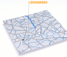
Disclaimer :: Information on this page comes without warranty of any kind |
||
|
Where is Lergo Amadu? Elevation and coordinates ::
Latitude (lat): 10°5'0"N Longitude (lon): 11°12'0"E
Elevation (approx.): 444m (map arrows pan, magnifying glasses zoom) |
||
|
Visiting Lergo Amadu? Hotel/Accommodation ::
Book a hotel in Lergo Amadu Travel Guide ::
Buy a travel guide for Nigeria rental cars ::
car rental offers GPS waypoint ::
download a GPX waypoint (PoI) of Lergo Amadu for your GPS receiver
|
||