|
search place name
|
||
Chojŏng-dong (Hwanghae, Korea, North)Chojŏng-dong is a town in the Hwanghae region of Korea, North. An overview map of the region around Chojŏng-dong is displayed below.
regional and 3d topo map of Chojŏng-dong, Korea, North ::

Chojŏng-dong airports ::
The nearest airport is FNJ - Pyongyang Intl, located 101.6 km north of Chojŏng-dong.
Other airports nearby include GMP - Seoul Gimpo (108.6 km south east), SSN - Seoul East Seoul Ab (135.7 km south east), OSN - Osan Ab (164.0 km south east), Nearby towns ::
Kadŏk-kol (0.4km north west) //
Chŏhang-dong (1.3km north) //
Yangmul (1.3km south) //
Ponghwang-dong (1.4km south east) //
Kŭmjŏng-dong (1.6km south) //
Nŭng-dong (1.6km east) //
Yŏnhwa-dong (2.1km south) //
Yup'al-li (2.1km south west) //
Munak-tong (2.3km north west) //
Kŭmnŭng-ni (2.4km north east) //
Ch'ang-mal (2.8km north) //
Pongha-ri (2.8km north east) //
Paekcha-dong (3.1km north) //
Sae-gol (2.9km north west) //
Sinch'ŏn (2.9km south east) //
I-dong (2.7km south east) //
Sugok-tong (2.7km north east) //
Ungok-tong (3.3km north) //
Kodo-dong (2.7km west) //
Maehwa-dong (3.3km south west) //
Wŏlch'on-gol (3.5km north east) //
Ponghwang-dong (3.0km south east) //
Yulsa-dong (3.9km north) //
Habong-dong (3.7km north east) //
Mijang-gol (3.2km east) //
Insan-up (4.1km south) //
Sinch'ol-li (3.9km north west) //
Saet'ŏ (4.5km south) //
Ch'angp'yŏng-ni (4.2km south west) //
[all distances 'as the bird flies' and approximate] 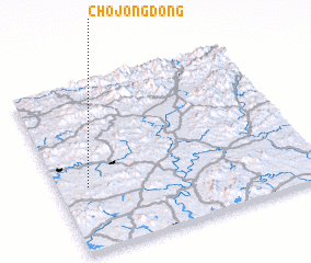 Places with similar names to Chojŏng-dong, Korea, North ::
// Ch'ajang-dong (KP)
// Ch'ajang-dong (KP)
// Chajŏng-dong (KP)
// Chajŏng-dong (KP)
// Chijang-dong (KP)
// Chijŏng-dong (KP)
// Ch'ojang-dong (KP)
// Chijang-dong (KR)
// Ch'ujang-dong (KP)
// Ch'ojung-dong (KP)
Disclaimer :: Information on this page comes without warranty of any kind |
||
|
Where is Chojŏng-dong? Elevation and coordinates ::
Latitude (lat): 38°22'39"N Longitude (lon): 126°6'54"E
Elevation (approx.): 175m (map arrows pan, magnifying glasses zoom) |
||
|
Visiting Chojŏng-dong? Hotel/Accommodation ::
Book a hotel in Chojŏng-dong Travel Guide ::
rental cars ::
car rental offers GPS waypoint ::
download a GPX waypoint (PoI) of Chojŏng-dong for your GPS receiver
|
||