|
search place name
|
||
Sŏdu-rodongjagu (Yanggang, Korea, North)Sŏdu-rodongjagu is a town in the Yanggang region of Korea, North. An overview map of the region around Sŏdu-rodongjagu is displayed below.
regional and 3d topo map of Sŏdu-rodongjagu, Korea, North ::
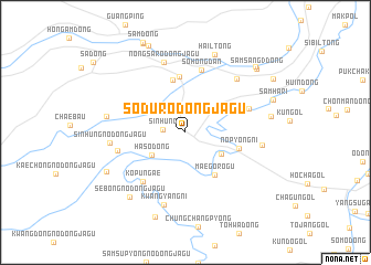
Nearby towns ::
Sinhŭng (1.7km west) //
Haso-dong (3.4km south west) //
Sangnop'yŏng (3.4km south east) //
Maegorŏgu (4.8km south east) //
Sohongdan (5.4km north) //
Nop'yŏng-ni (4.3km east) //
Taehongdan-ŭp (5.7km north) //
Sohongdan (6.4km north) //
Kŏp'ŭn'gae (5.9km south west) //
Kalp'yŏng (5.4km north east) //
Chungso-dong (5.4km west) //
Nongsa-rodongjagu (7.3km north) //
Sindŏng-nodongjagu (6.7km north east) //
Kwangyang-ni (7.5km south) //
Sinhŭng-nodongjagu (5.8km west) //
Sŭng-dong (5.9km east) //
Sin'gaech'ŏk (6.1km west) //
Hail-tong (8.2km north) //
Sebong-nodongjagu (7.7km south west) //
T'aech'u-gol (6.7km east) //
Sangso-dong (7.1km south west) //
Wŏnbong-nodongjagu (8.9km south) //
Samha-ri (7.4km north east) //
I-dong (9.2km north) //
Samsang 3-dong (8.4km north east) //
Samsang-nodongjagu (8.5km north east) //
Sambong-nodongjagu (8.6km north east) //
[all distances 'as the bird flies' and approximate] 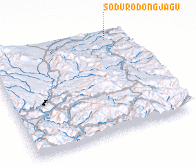 Places with similar names to Sŏdu-rodongjagu, Korea, North :: Disclaimer :: Information on this page comes without warranty of any kind |
||
|
Where is Sŏdu-rodongjagu? Elevation and coordinates ::
Latitude (lat): 41°57'8"N Longitude (lon): 128°51'18"E
Elevation (approx.): 985m (map arrows pan, magnifying glasses zoom) |
||
|
Visiting Sŏdu-rodongjagu? Hotel/Accommodation ::
Book a hotel in Sŏdu-rodongjagu Travel Guide ::
rental cars ::
car rental offers GPS waypoint ::
download a GPX waypoint (PoI) of Sŏdu-rodongjagu for your GPS receiver
|
||