|
search place name
|
||
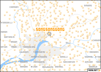
Songsŏng-dong (P'yŏngyang, Korea, North)Songsŏng-dong is a town in the P'yŏngyang region of Korea, North. An overview map of the region around Songsŏng-dong is displayed below.
regional and 3d topo map of Songsŏng-dong, Korea, North ::
Songsŏng-dong airports ::
The nearest airport is FNJ - Pyongyang Intl, located 21.2 km north west of Songsŏng-dong.
Other airports nearby include GMP - Seoul Gimpo (188.1 km south east), SSN - Seoul East Seoul Ab (213.1 km south east), OSN - Osan Ab (244.0 km south east), Nearby towns ::
Kusŏk-tong (0.3km south) //
Wap'o (0.5km south east) //
Sŏjŏng (1.0km north east) //
Misan-dong (1.5km north west) //
Wich'on (1.4km west) //
P'yŏng-ni (1.8km north) //
Hyŏn-dong (2.1km north) //
Yonghŭng 1-tong (1.7km west) //
T'apchae (2.0km south west) //
Nam-dong (1.9km west) //
Imhŭng-dong (2.4km south east) //
Pŏmmal (2.2km north west) //
Ch'ŏngam-dong (2.3km south west) //
Taesŏng-dong (2.4km north east) //
Yŏnam-ni (2.7km south) //
Kosan-dong (2.5km south east) //
Sango-ri (2.8km south east) //
Pultang-gol (2.9km north east) //
Ŭiam-dong (3.1km south) //
T'ap-tong (3.3km south) //
Sŏnsam-dong (2.6km west) //
Kangch'on (3.5km south) //
Tŏksu-gol (3.4km north) //
Yangam-ni (3.3km south east) //
Ch'ŏnggye-dong (2.9km north west) //
Soemal (2.8km east) //
Chŏl-gol (3.1km north east) //
Nŭngna-ri (3.2km south west) //
T'apchae-dong (3.9km south) //
[all distances 'as the bird flies' and approximate]  Places with similar names to Songsŏng-dong, Korea, North ::
// Sangsang-dong (KP)
// Sangsang-dong (KP)
// Sangsŏng-dong (KP)
// Sangsŏng-dong (KP)
// Sangsong-dong (KP)
// Sangsong-dong (KP)
// Sangsŭng-dong (KP)
// Songsang-dong (KP)
// Songsŏng-dong (KP)
// Songsŏng-dong (KP)
Disclaimer :: Information on this page comes without warranty of any kind |
||
|
Where is Songsŏng-dong? Elevation and coordinates ::
Latitude (lat): 39°3'48"N Longitude (lon): 125°48'11"E
Elevation (approx.): 15m (map arrows pan, magnifying glasses zoom) |
||
|
Visiting Songsŏng-dong? Hotel/Accommodation ::
Book a hotel in Songsŏng-dong Travel Guide ::
rental cars ::
car rental offers GPS waypoint ::
download a GPX waypoint (PoI) of Songsŏng-dong for your GPS receiver
|
||