|
search place name
|
||
Ban Tatkèo (Laos)Ban Tatkèo is a town in Laos. An overview map of the region around Ban Tatkèo is displayed below.
regional and 3d topo map of Ban Tatkèo, Laos ::

Ban Tatkèo airports ::
The nearest airport is ZVK - Savannakhet, located 87.3 km south of Ban Tatkèo.
Other airports nearby include SNO - Sakon Nakhon (98.0 km west), Nearby towns ::
Ban Khôkxiangxon (1.8km east) //
Ban Khôktong (4.0km south east) //
Ban Tham Lay (4.0km south east) //
Ban Namphou (5.1km north east) //
Ban Bungsavang Tai (5.8km south) //
Ban Muangba (6.5km south west) //
Ban Khamdokmai (6.5km south west) //
Ban Som (7.1km east) //
Ban Dôngkasèn (7.3km west) //
Ban Kangba (7.3km west) //
Ban Bungsavang Nua (7.7km south west) //
Ban Nabo (8.0km south west) //
Ban Phônsavang (8.2km south west) //
Ban Khamboun (9.1km south west) //
Ban Sang (10.3km south west) //
[all distances 'as the bird flies' and approximate] 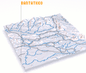 Places with similar names to Ban Tatkèo, Laos ::
// Bantutoc (PH)
// Bandiédaga (BF)
// Bani Dey Tougay (NE)
// Boundou Doki (NE)
// Bandadougou (CI)
Disclaimer :: Information on this page comes without warranty of any kind |
||
|
Where is Ban Tatkèo? Elevation and coordinates ::
Latitude (lat): 17°18'0"N Longitude (lon): 105°2'0"E
Elevation (approx.): 189m (map arrows pan, magnifying glasses zoom) |
||
|
Visiting Ban Tatkèo? Hotel/Accommodation ::
Book a hotel in Ban Tatkèo Travel Guide ::
Buy a travel guide for Laos rental cars ::
car rental offers GPS waypoint ::
download a GPX waypoint (PoI) of Ban Tatkèo for your GPS receiver
|
||