|
search place name
|
||
Campo Lata (Presidente Hayes, Paraguay)Campo Lata is a town in the Presidente Hayes region of Paraguay. An overview map of the region around Campo Lata is displayed below.
regional and 3d topo map of Campo Lata, Paraguay ::

Nearby towns ::
Estancia Laguna Porá (10.1km south east) //
[all distances 'as the bird flies' and approximate] 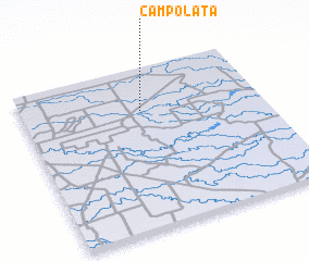 Places with similar names to Campo Lata, Paraguay ::
// Campalad (PH)
// Gumpold (AT)
// Campalto (IT)
// Campalto (IT)
// Campolide (PT)
// Kompolt (HU)
// Compludo (ES)
// Complete (US)
// Campo Alto (US)
// Campo Alto (MX)
Disclaimer :: Information on this page comes without warranty of any kind |
||
|
Where is Campo Lata? Elevation and coordinates ::
Latitude (lat): 22°16'0"S Longitude (lon): 59°30'0"W
Elevation (approx.): 119m (map arrows pan, magnifying glasses zoom) |
||
|
Visiting Campo Lata? Hotel/Accommodation ::
Book a hotel in Campo Lata Travel Guide ::
Buy a travel guide for Paraguay rental cars ::
car rental offers GPS waypoint ::
download a GPX waypoint (PoI) of Campo Lata for your GPS receiver
|
||