|
search place name
|
||
Golondrina (Caaguazú, Paraguay)Golondrina is a town in the Caaguazú region of Paraguay. An overview map of the region around Golondrina is displayed below.
regional and 3d topo map of Golondrina, Paraguay ::

Golondrina airports ::
The nearest airport is IGU - Foz Do Iguacu Cataratas Intl, located 140.5 km south east of Golondrina.
Other airports nearby include IGR - Iguazu Falls Cataratas Del Iguazu (153.9 km south east), CAC - Cascavel (192.2 km east), Nearby towns ::
Estancia Golondrina (3.7km south) //
Mariscal F. S. Lopez (7.6km south) //
[all distances 'as the bird flies' and approximate] 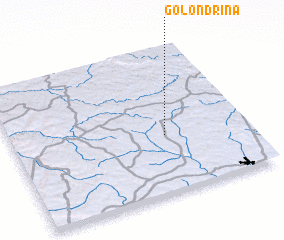 Places with similar names to Golondrina, Paraguay ::
// Klein Döhren (DE)
// Klein Dohren (DE)
// Kolonia Toruń (PL)
// Qalandarān (IR)
// Qalandarān (IR)
// Qalandrāni (PK)
// Qalandrāni (PK)
// Colonia Turén (VE)
// Golondrina (PY)
// Collendoorn (NL)
Disclaimer :: Information on this page comes without warranty of any kind |
||
|
Where is Golondrina? Elevation and coordinates ::
Latitude (lat): 24°36'0"S Longitude (lon): 55°21'0"W
Elevation (approx.): 299m (map arrows pan, magnifying glasses zoom) |
||
|
Visiting Golondrina? Hotel/Accommodation ::
Book a hotel in Golondrina Travel Guide ::
Buy a travel guide for Paraguay rental cars ::
car rental offers GPS waypoint ::
download a GPX waypoint (PoI) of Golondrina for your GPS receiver
|
||