|
search place name
|
||
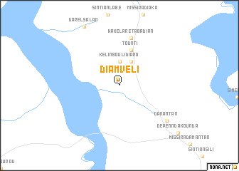
Diamvéli (Tambacounda, Senegal)Diamvéli is a town in the Tambacounda region of Senegal. An overview map of the region around Diamvéli is displayed below.
regional and 3d topo map of Diamvéli, Senegal ::
Diamvéli airports ::
The nearest airport is TUD - Tambacounda, located 78.6 km north of Diamvéli.
Other airports nearby include KGG - Kedougou (145.3 km east), BXE - Bakel (226.2 km north east), LEK - Labe (229.9 km south east), Nearby towns ::
Kélin Boulidiaro (3.7km north) //
Gambaya (4.1km north east) //
Tounti (5.8km north) //
Wakélaré Tabadian (7.6km north) //
Damantan (9.1km south east) //
[all distances 'as the bird flies' and approximate] 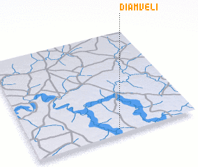 Places with similar names to Diamvéli, Senegal ::
// Diamveli (SN)
// Timbafoulou (SN)
// Tomaval (PE)
// Tomba Foulah (GN)
// Tambafoulou (ML)
// Tombavil (PG)
// Tomvalle (NI)
// Démouville (FR)
// Damville (FR)
// Tummaville (AU)
Disclaimer :: Information on this page comes without warranty of any kind |
||
|
Where is Diamvéli? Elevation and coordinates ::
Latitude (lat): 13°3'0"N Longitude (lon): 13°28'0"W
Elevation (approx.): 32m (map arrows pan, magnifying glasses zoom) |
||
|
Visiting Diamvéli? Hotel/Accommodation ::
Book a hotel in Diamvéli Travel Guide ::
Buy a travel guide for Senegal rental cars ::
car rental offers GPS waypoint ::
download a GPX waypoint (PoI) of Diamvéli for your GPS receiver
|
||