|
search place name
|
||
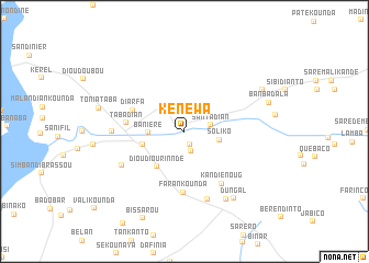
Kénéwa (Kolda, Senegal)Kénéwa is a town in the Kolda region of Senegal. An overview map of the region around Kénéwa is displayed below.
regional and 3d topo map of Kénéwa, Senegal ::
Kénéwa airports ::
The nearest airport is BXO - Bissau Oswaldo Vieira Intl, located 89.6 km south of Kénéwa.
Other airports nearby include ZIG - Ziguinchor (97.8 km west), CSK - Cap Skiring (150.2 km west), BJL - Banjul Intl (156.2 km north west), KLC - Kaolack (179.3 km north west), Nearby towns ::
Talikourto (1.4km south) //
Nioro (2.1km south) //
Kafoulou (2.4km north) //
Santadian (2.6km east) //
Soliko (3.6km east) //
Banière (3.6km west) //
Tanaf (4.3km west) //
Dioudiourinndé (4.5km south west) //
Diarfa (5.6km north west) //
Tabadian (5.8km west) //
Farankounda (6.2km south) //
Kandiénoug (6.5km south east) //
Badinnding (7.1km south west) //
Fadiounkar (7.3km south) //
Bambali (7.2km west) //
Diamaye (8.0km south east) //
Dungal (8.4km south east) //
Malifara Brassou (8.8km north east) //
Toniataba (8.9km west) //
Banbadala (8.9km east) //
Bissarou (9.8km south west) //
[all distances 'as the bird flies' and approximate] 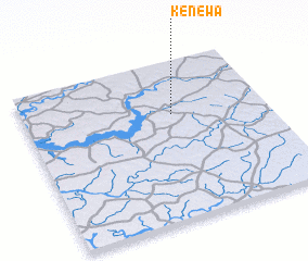 Places with similar names to Kénéwa, Senegal ::
Disclaimer :: Information on this page comes without warranty of any kind |
||
|
Where is Kénéwa? Elevation and coordinates ::
Latitude (lat): 12°39'43"N Longitude (lon): 15°23'17"W
Elevation (approx.): 12m (map arrows pan, magnifying glasses zoom) |
||
|
Visiting Kénéwa? Hotel/Accommodation ::
Book a hotel in Kénéwa Travel Guide ::
Buy a travel guide for Senegal rental cars ::
car rental offers GPS waypoint ::
download a GPX waypoint (PoI) of Kénéwa for your GPS receiver
|
||