|
search place name
|
||
El Qezan (Nahr an Nīl, Sudan)El Qezan is a town in the Nahr an Nīl region of Sudan. An overview map of the region around El Qezan is displayed below.
regional and 3d topo map of El Qezan, Sudan ::
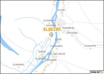
Nearby towns ::
Umm Ţuyūr (1.0km south west) //
El ‘Kad (2.8km south east) //
Umm Tamra (3.3km north) //
El Ban Jaded (4.4km south) //
El Moqrar (4.4km north east) //
El Fahalab (5.1km north) //
Atbara (5.1km north east) //
Hillat el Hasanab (5.2km south) //
Ash Shiqlah (6.1km east) //
Ad-Damar (7.0km south) //
Gondar (7.0km south west) //
El Hilla el Jadeda (7.1km south) //
Umm ‘Ajājah (6.9km east) //
El Timerab (7.7km south west) //
‘Umarāb (7.9km south west) //
Khlewa (9.4km north) //
El Hinarab (9.6km south west) //
[all distances 'as the bird flies' and approximate] 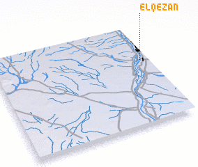 Places with similar names to El Qezan, Sudan ::
Disclaimer :: Information on this page comes without warranty of any kind |
||
|
Where is El Qezan? Elevation and coordinates ::
Latitude (lat): 17°39'21"N Longitude (lon): 33°57'28"E
Elevation (approx.): 352m (map arrows pan, magnifying glasses zoom) |
||
|
Visiting El Qezan? Hotel/Accommodation ::
Book a hotel in El Qezan Travel Guide ::
Buy a travel guide for Sudan rental cars ::
car rental offers GPS waypoint ::
download a GPX waypoint (PoI) of El Qezan for your GPS receiver
|
||