|
search place name
|
||
Umm Shql (Nahr an Nīl, Sudan)Umm Shql is a town in the Nahr an Nīl region of Sudan. An overview map of the region around Umm Shql is displayed below.
regional and 3d topo map of Umm Shql, Sudan ::

Umm Shql airports ::
The nearest airport is KRT - Khartoum, located 135.1 km south west of Umm Shql.
Nearby towns ::
El Madanab (0.8km south) //
Abū al Ḩasan (1.0km east) //
Al Qawz (1.0km east) //
Es Salama (1.7km south east) //
Qoz El Motraq (2.2km north) //
Qandato (2.6km north east) //
Salāmāt (3.4km south) //
Qandato (3.6km north east) //
Birerab (3.8km east) //
Al Mirekh (4.0km west) //
Es Salama (4.6km south west) //
El Qirenab (4.7km north east) //
Ed Dowyab (4.6km east) //
Hawsh al Khawajah (5.0km north west) //
Hillat Wadi Ab Dabi (5.4km north west) //
Hillat es Sol‘at (5.4km north) //
Hillat Umm Makharoqa (5.4km north west) //
Ed Deim (5.4km north west) //
Esh Shayqya (5.9km north) //
Qandato (5.9km north east) //
Es Salluab (6.2km north) //
Hillat el Karton (6.2km north) //
Hillat Wadi esh Shekh (6.2km north) //
Wadi Khalel (6.5km north) //
Deim esh Shab‘anab (6.4km west) //
Ed Dowyab (6.6km north east) //
El Hobagi (7.3km west) //
El Fijeja (7.4km north east) //
El Bqedab (7.5km north west) //
[all distances 'as the bird flies' and approximate] 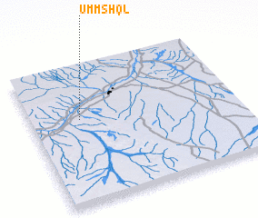 Places with similar names to Umm Shql, Sudan ::
// Umm Mishqālah (YE)
Disclaimer :: Information on this page comes without warranty of any kind |
||
|
Where is Umm Shql? Elevation and coordinates ::
Latitude (lat): 16°36'48"N Longitude (lon): 33°14'29"E
Elevation (approx.): 368m (map arrows pan, magnifying glasses zoom) |
||
|
Visiting Umm Shql? Hotel/Accommodation ::
Book a hotel in Umm Shql Travel Guide ::
Buy a travel guide for Sudan rental cars ::
car rental offers GPS waypoint ::
download a GPX waypoint (PoI) of Umm Shql for your GPS receiver
|
||