|
search place name
|
||
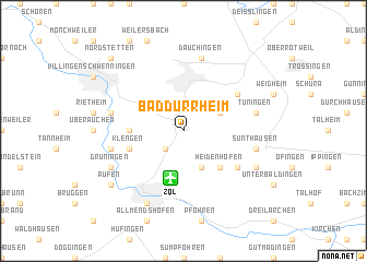
Bad Dürrheim (Baden-Württemberg, Germany)Bad Dürrheim is a town in the Baden-Württemberg region of Germany. An overview map of the region around Bad Dürrheim is displayed below.
regional and 3d topo map of Bad Dürrheim, Germany ::
Bad Dürrheim airports ::
The nearest airport is ZQL - Donaueschingen Villingen, located 4.9 km south of Bad Dürrheim.
Other airports nearby include ZRH - Zurich (61.4 km south), FDH - Friedrichshafen (82.7 km south east), CMR - Colmar Houssen (88.1 km west), SXB - Strassbourg Entzheim (88.8 km north west), Nearby towns ::
Ankenbuck (2.2km south west) //
Hochemmingen (3.1km north east) //
Aasen (3.9km south) //
Heidenhofen (4.5km south east) //
Kirchdorf (3.7km west) //
Klengen (4.2km south west) //
Mühlhausen (5.2km north east) //
Biesingen (5.3km south east) //
Marbach (5.3km west) //
Dauchingen (7.5km north) //
Heergasse (5.3km west) //
Tuningen (5.3km east) //
Sunthausen (5.3km east) //
Grüningen (6.2km south west) //
Beckhofen (6.2km south west) //
Donaueschingen (7.8km south) //
Oberbaldingen (6.2km south east) //
Aufen (7.5km south west) //
Nordstetten (8.9km north west) //
[all distances 'as the bird flies' and approximate] 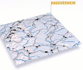 Places with similar names to Bad Dürrheim, Germany ::
// Batarhoumbou (VU)
Disclaimer :: Information on this page comes without warranty of any kind |
||
|
Where is Bad Dürrheim? Elevation and coordinates ::
Latitude (lat): 48°1'0"N Longitude (lon): 8°32'0"E
Elevation (approx.): 699m (map arrows pan, magnifying glasses zoom) |
||
|
Visiting Bad Dürrheim? Hotel/Accommodation ::
Book a hotel in Bad Dürrheim Travel Guide ::
Buy a travel guide for Germany rental cars ::
car rental offers GPS waypoint ::
download a GPX waypoint (PoI) of Bad Dürrheim for your GPS receiver
|
||