|
search place name
|
||
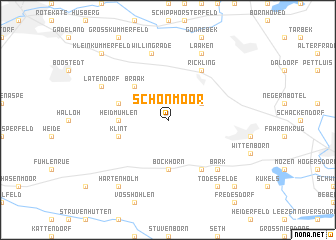
Schönmoor (Schleswig-Holstein, Germany)Schönmoor is a town in the Schleswig-Holstein region of Germany. An overview map of the region around Schönmoor is displayed below.
regional and 3d topo map of Schönmoor, Germany ::
Schönmoor airports ::
The nearest airport is HAM - Hamburg, located 38.6 km south of Schönmoor.
Other airports nearby include LBC - Luebeck Lubeck Blankensee (42.5 km south east), KEL - Kiel Holtenau (46.0 km north), XFW - Hamburg Finkenwerder (51.8 km south), SGD - Soenderborg Sonderborg (113.2 km north), Nearby towns ::
Fehrenbötel (2.9km north east) //
Braak (4.3km north west) //
Bockhorn (5.6km south) //
Heidmühlen (3.3km west) //
Latendorferfeld (3.8km north west) //
Klint (3.8km south west) //
Schafhaus (6.0km south) //
Rickling (6.0km north) //
Willingrade (7.5km north) //
Bark (6.5km south east) //
Latendorf (5.7km north west) //
Laaken (7.7km north) //
Todesfelde (8.1km south east) //
Hartenholm (8.1km south west) //
Klein Kummerfeld (8.6km north west) //
Altengörs (8.6km south east) //
[all distances 'as the bird flies' and approximate] 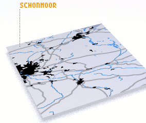 Places with similar names to Schönmoor, Germany ::
Disclaimer :: Information on this page comes without warranty of any kind |
||
|
Where is Schönmoor? Elevation and coordinates ::
Latitude (lat): 53°58'0"N Longitude (lon): 10°8'0"E
Elevation (approx.): 42m (map arrows pan, magnifying glasses zoom) |
||
|
Visiting Schönmoor? Hotel/Accommodation ::
Book a hotel in Schönmoor Travel Guide ::
Buy a travel guide for Germany rental cars ::
car rental offers GPS waypoint ::
download a GPX waypoint (PoI) of Schönmoor for your GPS receiver
|
||