|
search place name
|
||
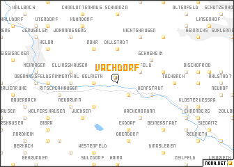
Vachdorf (Thüringen, Germany)Vachdorf is a town in the Thüringen region of Germany. An overview map of the region around Vachdorf is displayed below.
regional and 3d topo map of Vachdorf, Germany ::
Vachdorf airports ::
The nearest airport is ERF - Erfurt, located 58.0 km north east of Vachdorf.
Other airports nearby include HOQ - Hof Plauen (97.8 km east), BYU - Bayreuth (99.7 km south east), GHF - Giebelstadt Aaf (106.5 km south west), ZNF - Hanau Aaf (119.0 km west), Nearby towns ::
Leutersdorf (2.2km south east) //
Belrieth (2.4km west) //
Marisfeld (3.0km north east) //
Heubach (4.4km south west) //
Dillstädt (5.6km north) //
Henfstädt (4.0km south east) //
Rohr (6.0km north west) //
Schmeheim (5.1km north east) //
Wachenbrunn (6.0km south east) //
Einhausen (4.7km west) //
Ellingshausen (5.1km west) //
Exdorf (7.5km south) //
Oberstadt (5.1km east) //
Jüchsen (6.6km south west) //
Neubrunn (6.0km south west) //
Wichtshausen (7.8km north) //
Johannisberg (8.8km north west) //
Sankt Bernhard (8.8km south east) //
Beinerstadt (8.8km south east) //
Mäbendorf (8.8km north east) //
Dietzhausen (8.8km north east) //
[all distances 'as the bird flies' and approximate] 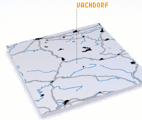 Places with similar names to Vachdorf, Germany ::
// Füchtorf (DE)
Disclaimer :: Information on this page comes without warranty of any kind |
||
|
Where is Vachdorf? Elevation and coordinates ::
Latitude (lat): 50°32'0"N Longitude (lon): 10°32'0"E
Elevation (approx.): 419m (map arrows pan, magnifying glasses zoom) |
||
|
Visiting Vachdorf? Hotel/Accommodation ::
Book a hotel in Vachdorf Travel Guide ::
Buy a travel guide for Germany rental cars ::
car rental offers GPS waypoint ::
download a GPX waypoint (PoI) of Vachdorf for your GPS receiver
|
||