|
search place name
|
||
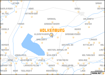
Wolkenburg (Niedersachsen, Germany)Wolkenburg is a town in the Niedersachsen region of Germany. An overview map of the region around Wolkenburg is displayed below.
regional and 3d topo map of Wolkenburg, Germany ::
Wolkenburg airports ::
The nearest airport is ENS - Enschede Twenthe, located 67.0 km south west of Wolkenburg.
Other airports nearby include GRQ - Groningen Eelde (69.6 km north west), EME - Emden (70.9 km north), FMO - Muenster/osnabrueck Munster Osnabruck (72.4 km south), WVN - Wilhelmshaven Mariensiel (92.0 km north east), Nearby towns ::
Klein Berßen (1.1km east) //
Groß Stavern (3.7km north) //
Klein Stavern (2.2km west) //
Apeldorn (2.9km south west) //
Sprakel (5.6km north) //
Lohe (5.7km south) //
Westerlohmühlen (5.7km south) //
Westerloh (5.0km south east) //
Schleper (7.4km south) //
Groß Berßen (4.5km east) //
Hülsen (6.5km south east) //
Klein Dörgen (7.7km south) //
Kathenmoor (8.7km north west) //
[all distances 'as the bird flies' and approximate] 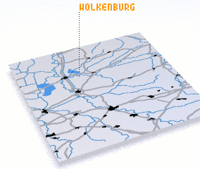 Places with similar names to Wolkenburg, Germany ::
// Walkenberg (DE)
// Wilkenberg (DE)
// Wolkenberg (DE)
// Wolkenberg (DE)
// Wolkenburg (DE)
// Wilkenburg (DE)
Disclaimer :: Information on this page comes without warranty of any kind |
||
|
Where is Wolkenburg? Elevation and coordinates ::
Latitude (lat): 52°46'0"N Longitude (lon): 7°26'0"E
Elevation (approx.): 20m (map arrows pan, magnifying glasses zoom) |
||
|
Visiting Wolkenburg? Hotel/Accommodation ::
Book a hotel in Wolkenburg Travel Guide ::
Buy a travel guide for Germany rental cars ::
car rental offers GPS waypoint ::
download a GPX waypoint (PoI) of Wolkenburg for your GPS receiver
|
||