|
search place name
|
||
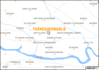
Terme di Miradolo (Italy)Terme di Miradolo is a town in Italy. An overview map of the region around Terme di Miradolo is displayed below.
regional and 3d topo map of Terme di Miradolo, Italy ::
Terme di Miradolo airports ::
The nearest airport is LIN - Milan Linate, located 31.1 km north of Terme di Miradolo.
Other airports nearby include QPZ - Piacenza (38.5 km south east), BGY - Bergamo Orio Al Serio (59.0 km north), MXP - Milano Malpensa (73.3 km north west), VBS - Montichiari (76.7 km east), Nearby towns ::
Miradolo Terme (2.3km south east) //
Monteleone (2.6km west) //
Inverno (2.6km west) //
Santa Cristina e Bissone (3.9km south) //
Bissone (5.6km south) //
Corteolona (4.3km south west) //
SantʼAngelo Lodigiano (5.7km north) //
San Colombano al Lambro (5.2km east) //
Pieve Porto Morone (7.5km south) //
Genzone (5.5km west) //
Gerenzago (5.5km west) //
Villanterio (6.4km north west) //
Badia Pavese (9.1km south east) //
[all distances 'as the bird flies' and approximate] 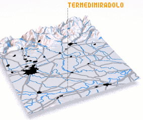 Places with similar names to Terme di Miradolo, Italy :: Disclaimer :: Information on this page comes without warranty of any kind |
||
|
Where is Terme di Miradolo? Elevation and coordinates ::
Latitude (lat): 45°11'0"N Longitude (lon): 9°25'0"E
Elevation (approx.): 70m (map arrows pan, magnifying glasses zoom) |
||
|
Visiting Terme di Miradolo? Hotel/Accommodation ::
Book a hotel in Terme di Miradolo Travel Guide ::
Buy a travel guide for Italy rental cars ::
car rental offers GPS waypoint ::
download a GPX waypoint (PoI) of Terme di Miradolo for your GPS receiver
|
||