|
search place name
|
||
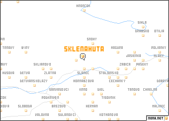
Sklená Huta (Slovakia)Sklená Huta is a town in Slovakia. An overview map of the region around Sklená Huta is displayed below.
regional and 3d topo map of Sklená Huta, Slovakia ::
Sklená Huta airports ::
The nearest airport is SLD - Sliac, located 29.7 km west of Sklená Huta.
Other airports nearby include TAT - Poprad Tatry (74.0 km north east), PZY - Piestany (125.7 km west), KSC - Kosice (126.1 km east), BUD - Budapest Ferihegy (131.0 km south), Nearby towns ::
Horná Riečka (1.2km west) //
Hriňová (1.9km south) //
Skalisko (2.2km south east) //
Slanec (3.7km south) //
Snohy (3.9km north) //
Horná Bzová (5.6km south) //
Štoliansko (5.2km south east) //
Dolná Brestina (7.4km south) //
Krno (7.4km south) //
Blato (5.2km west) //
Horná Brestina (7.5km south) //
Komárno (5.2km east) //
Magura (5.2km east) //
Zlatna (6.1km south west) //
Detvianska Huta (6.1km south east) //
Diel (7.8km south) //
Sarvašovci (8.3km south west) //
Čechanky (7.4km south east) //
[all distances 'as the bird flies' and approximate] 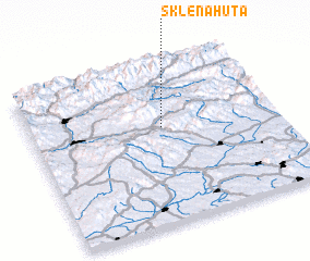 Places with similar names to Sklená Huta, Slovakia ::
// Skelná Hutʼ (CZ)
// Skelná Hutʼ (CZ)
// Skelná Hutʼ (CZ)
// Skelná Hutʼ (CZ)
// Sklená Hutʼ (CZ)
// Sklená Hutʼ (CZ)
// Sklená Hutʼ (CZ)
// Skelné Hutě (CZ)
// Skelné Hutě (CZ)
// Skelné Hutě (CZ)
Disclaimer :: Information on this page comes without warranty of any kind |
||
|
Where is Sklená Huta? Elevation and coordinates ::
Latitude (lat): 48°36'0"N Longitude (lon): 19°32'0"E
Elevation (approx.): 659m (map arrows pan, magnifying glasses zoom) |
||
|
Visiting Sklená Huta? Hotel/Accommodation ::
Book a hotel in Sklená Huta Travel Guide ::
Buy a travel guide for Slovakia rental cars ::
car rental offers GPS waypoint ::
download a GPX waypoint (PoI) of Sklená Huta for your GPS receiver
|
||