|
search place name
|
||
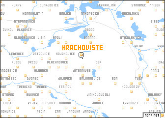
Hrachoviště (Czech Republic)Hrachoviště is a town in Czech Republic. An overview map of the region around Hrachoviště is displayed below.
regional and 3d topo map of Hrachoviště, Czech Republic ::
Hrachoviště airports ::
The nearest airport is LNZ - Linz (Horsching), located 88.8 km south west of Hrachoviště.
Other airports nearby include PRG - Prague Ruzyne (134.9 km north), PED - Pardubice (139.3 km north east), BRQ - Turany (143.0 km east), VIE - Vienna Schwechat (161.6 km south east), Nearby towns ::
Lipnice (1.9km south) //
Jiterní Ves (3.7km south) //
Kojákovice (2.4km west) //
Cep (3.1km south east) //
Branná (3.9km north) //
Kramolín (3.1km south west) //
Domanín (4.4km north west) //
Nepomuk (5.6km south) //
Obora (5.7km north) //
Vlachnovice (4.1km south west) //
Šalmanovice (5.7km south) //
Spolí (5.2km north west) //
Jílovice (6.1km south west) //
Mladošovice (4.9km west) //
Lhota (5.2km west) //
Těšínov (7.8km south) //
Bor (7.4km south east) //
Lhotka (8.9km south west) //
[all distances 'as the bird flies' and approximate] 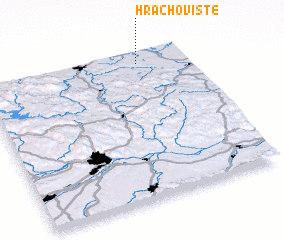 Places with similar names to Hrachoviště, Czech Republic ::
// Hrachovište (SK)
// Hrachoviště (CZ)
Disclaimer :: Information on this page comes without warranty of any kind |
||
|
Where is Hrachoviště? Elevation and coordinates ::
Latitude (lat): 48°56'0"N Longitude (lon): 14°46'0"E
Elevation (approx.): 456m (map arrows pan, magnifying glasses zoom) |
||
|
Visiting Hrachoviště? Hotel/Accommodation ::
Book a hotel in Hrachoviště Travel Guide ::
rental cars ::
car rental offers GPS waypoint ::
download a GPX waypoint (PoI) of Hrachoviště for your GPS receiver
|
||