|
search place name
|
||
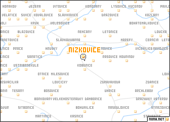
Nížkovice (Czech Republic)Nížkovice is a town in Czech Republic. An overview map of the region around Nížkovice is displayed below.
regional and 3d topo map of Nížkovice, Czech Republic ::
Nížkovice airports ::
The nearest airport is BRQ - Turany, located 15.5 km west of Nížkovice.
Other airports nearby include PRV - Prerov (50.3 km north east), PZY - Piestany (87.3 km south east), BTS - Bratislava M R Stefanik (107.7 km south), OSR - Ostrava Mosnov (109.0 km north east), Nearby towns ::
Heršpice (1.2km east) //
Kobeřice (1.9km south) //
Hodějice (3.7km north) //
Vážany nad Litavou (3.1km north west) //
Křižanovice (3.1km north east) //
Slavkov u Brna (4.4km north west) //
Němčany (5.6km north) //
Rašovice (3.6km east) //
Milešovice (5.2km south west) //
Hrušky (5.2km west) //
Letonice (6.6km north east) //
Lovčičky (6.6km south west) //
Zdravá Voda (6.6km south east) //
Křenovice (6.1km north west) //
Velešovice (8.3km north west) //
Uhřice (8.3km south east) //
Bošovice (8.9km south west) //
Silničná (8.9km south east) //
Žarošice (8.9km south east) //
[all distances 'as the bird flies' and approximate] 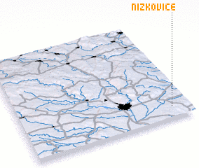 Places with similar names to Nížkovice, Czech Republic ::
Disclaimer :: Information on this page comes without warranty of any kind |
||
|
Where is Nížkovice? Elevation and coordinates ::
Latitude (lat): 49°7'0"N Longitude (lon): 16°54'0"E
Elevation (approx.): 256m (map arrows pan, magnifying glasses zoom) |
||
|
Visiting Nížkovice? Hotel/Accommodation ::
Book a hotel in Nížkovice Travel Guide ::
rental cars ::
car rental offers GPS waypoint ::
download a GPX waypoint (PoI) of Nížkovice for your GPS receiver
|
||