|
search place name
|
||
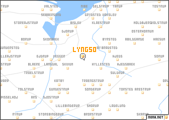
Lyngsø (Nordjylland, Denmark)Lyngsø is a town in the Nordjylland region of Denmark. An overview map of the region around Lyngsø is displayed below.
regional and 3d topo map of Lyngsø, Denmark ::
Lyngsø airports ::
The nearest airport is AAL - Aalborg, located 26.8 km north east of Lyngsø.
Other airports nearby include TED - Thisted (60.1 km west), KRP - Karup (72.3 km south west), AAR - Aarhus (88.8 km south east), STA - Stauning (127.0 km south west), Nearby towns ::
Veggerby (2.1km north east) //
Skivum (2.7km south west) //
Hyllested (2.7km south east) //
Rebstrup (5.6km south) //
Vegger (3.0km west) //
Trængstrup (5.7km south) //
Bradsted (3.6km north east) //
Djørup (5.9km north) //
Tøttrup (5.9km south) //
Byrsted (4.8km north east) //
Kelddal Gårde (4.1km west) //
Hjeds (4.1km east) //
Langdal (4.5km south west) //
Sønderup (7.5km south) //
Bislev (7.5km north) //
Rodsted (6.3km south east) //
Katby (6.3km south west) //
Giver (7.7km south) //
Skørbæk (5.5km north west) //
Suldrup (5.5km south east) //
Klæstrup (7.7km north) //
Braulstrup (8.0km south) //
Gundestrup (8.0km south) //
[all distances 'as the bird flies' and approximate] 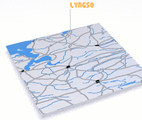 Places with similar names to Lyngsø, Denmark ::
Disclaimer :: Information on this page comes without warranty of any kind |
||
|
Where is Lyngsø? Elevation and coordinates ::
Latitude (lat): 56°53'0"N Longitude (lon): 9°38'0"E
Elevation (approx.): 49m (map arrows pan, magnifying glasses zoom) |
||
|
Visiting Lyngsø? Hotel/Accommodation ::
Book a hotel in Lyngsø Travel Guide ::
Buy a travel guide for Denmark rental cars ::
car rental offers GPS waypoint ::
download a GPX waypoint (PoI) of Lyngsø for your GPS receiver
|
||