|
search place name
|
||
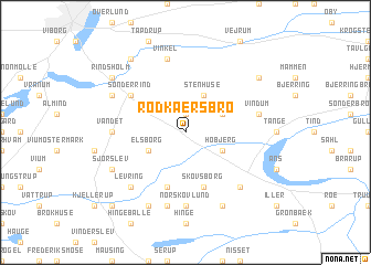
Rødkærsbro (Viborg, Denmark)Rødkærsbro is a town in the Viborg region of Denmark. An overview map of the region around Rødkærsbro is displayed below.
regional and 3d topo map of Rødkærsbro, Denmark ::
Rødkærsbro airports ::
The nearest airport is KRP - Karup, located 25.0 km west of Rødkærsbro.
Other airports nearby include AAR - Aarhus (68.4 km east), BLL - Billund (71.6 km south), STA - Stauning (82.6 km south west), AAL - Aalborg (85.2 km north), Nearby towns ::
Brandstrup (1.9km north) //
Stenhuse (3.8km north) //
Fårup (2.8km north east) //
Høbjerg (2.8km south east) //
Elsborg (2.8km south west) //
Skovsborg (5.7km south) //
Midstrup (5.7km south) //
Sønder Rind (4.8km north west) //
Nørskovlund (7.4km south) //
Vandet (4.1km west) //
Vindum (4.5km north east) //
Vinkel (7.5km north) //
Hindbjerg (7.5km south) //
Levring (6.4km south west) //
Iller Hede (6.4km south east) //
Middelhede (5.5km north west) //
Dalsgård (7.7km south) //
Sjørslev (5.5km south west) //
Astrup (7.7km south) //
Dalsgårde (6.9km north east) //
Rindsholm (6.9km north west) //
Bruunshåb (8.0km north west) //
Hørup (8.5km south west) //
Almtoft (8.5km south west) //
[all distances 'as the bird flies' and approximate] 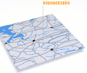 Places with similar names to Rødkærsbro, Denmark :: Disclaimer :: Information on this page comes without warranty of any kind |
||
|
Where is Rødkærsbro? Elevation and coordinates ::
Latitude (lat): 56°21'0"N Longitude (lon): 9°31'0"E
Elevation (approx.): 22m (map arrows pan, magnifying glasses zoom) |
||
|
Visiting Rødkærsbro? Hotel/Accommodation ::
Book a hotel in Rødkærsbro Travel Guide ::
Buy a travel guide for Denmark rental cars ::
car rental offers GPS waypoint ::
download a GPX waypoint (PoI) of Rødkærsbro for your GPS receiver
|
||