|
search place name
|
||
Mittådalen (Jämtland, Sweden)Mittådalen is a town in the Jämtland region of Sweden. An overview map of the region around Mittådalen is displayed below.
regional and 3d topo map of Mittådalen, Sweden ::

Mittådalen airports ::
The nearest airport is RRS - Roros, located 69.0 km west of Mittådalen.
Other airports nearby include OSD - Ostersund Froson (109.2 km north east), EVG - Sveg (115.2 km south east), TRD - Trondheim Vaernes (123.3 km north west), MXX - Mora (215.4 km south east), Nearby towns ::
Mässlingen (2.0km south east) //
Falkvålen (6.1km north east) //
[all distances 'as the bird flies' and approximate] 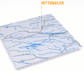 Places with similar names to Mittådalen, Sweden ::
// Matatlán (MX)
// Mata de León (VE)
// Mata de León (VE)
// Mata de León (VE)
// Mît `Adlân (EG)
// Mate de Luna (AR)
Disclaimer :: Information on this page comes without warranty of any kind |
||
|
Where is Mittådalen? Elevation and coordinates ::
Latitude (lat): 62°41'0"N Longitude (lon): 12°40'0"E
(map arrows pan, magnifying glasses zoom) |
||
|
Visiting Mittådalen? Hotel/Accommodation ::
Book a hotel in Mittådalen Travel Guide ::
Buy a travel guide for Sweden rental cars ::
car rental offers GPS waypoint ::
download a GPX waypoint (PoI) of Mittådalen for your GPS receiver
|
||