|
search place name
|
||
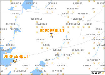
Värpeshult (Kronoberg, Sweden)Värpeshult is a town in the Kronoberg region of Sweden. An overview map of the region around Värpeshult is displayed below.
regional and 3d topo map of Värpeshult, Sweden ::
Värpeshult airports ::
The nearest airport is VXO - Vaxjo Kronoberg, located 31.0 km north east of Värpeshult.
Other airports nearby include RNB - Ronneby (75.9 km south east), KID - Kristianstad (92.0 km south), HAD - Halmstad (94.8 km west), JKG - Joenkoeping Jonkoping (115.5 km north), Nearby towns ::
Hullingsved (2.1km north east) //
Lindås (3.8km south) //
Fölshult (2.8km south west) //
Eneryda (4.2km south west) //
Hörda (4.2km south west) //
Brohult (4.2km north east) //
Moshult (4.2km north east) //
Ulvsboda (4.2km north west) //
Degerön (5.7km south) //
Lövhult (3.6km south east) //
Haghult (3.6km north west) //
Trästen (3.6km north east) //
Röshult (4.8km north west) //
Lindås (4.8km north east) //
Boön (7.5km south) //
Tubbamåla (6.3km north west) //
Skeppshult (6.3km north east) //
Rickardshult (5.5km north east) //
Hagstad (6.9km south east) //
Mörhult (8.0km south) //
Sälhyltan (8.0km north) //
[all distances 'as the bird flies' and approximate] 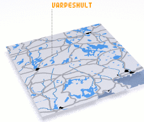 Places with similar names to Värpeshult, Sweden ::
// Värpeshult (SE)
Disclaimer :: Information on this page comes without warranty of any kind |
||
|
Where is Värpeshult? Elevation and coordinates ::
Latitude (lat): 56°44'0"N Longitude (lon): 14°22'0"E
Elevation (approx.): 193m (map arrows pan, magnifying glasses zoom) |
||
|
Visiting Värpeshult? Hotel/Accommodation ::
Book a hotel in Värpeshult Travel Guide ::
Buy a travel guide for Sweden rental cars ::
car rental offers GPS waypoint ::
download a GPX waypoint (PoI) of Värpeshult for your GPS receiver
|
||