|
search place name
|
||
Stanton Saint Quintin (United Kingdom)Stanton Saint Quintin is a town in United Kingdom. An overview map of the region around Stanton Saint Quintin is displayed below.
regional and 3d topo map of Stanton Saint Quintin, United Kingdom ::

Stanton Saint Quintin airports ::
The nearest airport is LYE - Lyneham, located 9.8 km east of Stanton Saint Quintin.
Other airports nearby include FFD - Fairford (30.1 km north east), FZO - Bristol Filton (31.8 km west), GLO - Golouchestershire Gloucestershire (42.1 km north), BRS - Bristol (43.4 km west), Nearby towns ::
Hullavington (2.2km north west) //
Norton (4.4km north west) //
Hardenhuish (5.6km south) //
Corston (5.7km north) //
Foxley (5.7km north) //
Sutton Benger (3.9km south east) //
Seagry (4.6km east) //
Grittleton (4.6km west) //
Great Somerford (5.0km east) //
Chippenham (7.5km south) //
Yatton Keynell (5.9km south west) //
Malmesbury (8.2km north east) //
Lea (7.2km north east) //
Easton Grey (8.2km north west) //
Tytherton Lucas (7.2km south east) //
Biddlestone (8.7km south west) //
[all distances 'as the bird flies' and approximate] 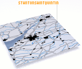 Places with similar names to Stanton Saint Quintin, United Kingdom :: Disclaimer :: Information on this page comes without warranty of any kind |
||
|
Where is Stanton Saint Quintin? Elevation and coordinates ::
Latitude (lat): 51°31'0"N Longitude (lon): 2°8'0"W
Elevation (approx.): 99m (map arrows pan, magnifying glasses zoom) |
||
|
Visiting Stanton Saint Quintin? Hotel/Accommodation ::
Book a hotel in Stanton Saint Quintin Travel Guide ::
rental cars ::
car rental offers GPS waypoint ::
download a GPX waypoint (PoI) of Stanton Saint Quintin for your GPS receiver
|
||