|
search place name
|
||
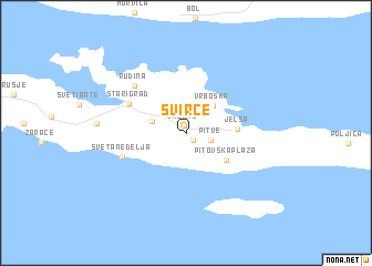
Svirče (Croatia)Svirče is a town in Croatia. An overview map of the region around Svirče is displayed below.
regional and 3d topo map of Svirče, Croatia ::
Svirče airports ::
The nearest airport is SPU - Split, located 51.0 km north west of Svirče.
Other airports nearby include OMO - Mostar (98.4 km east), DBV - Dubrovnik (148.1 km south east), ZAD - Zadar (148.9 km north west), SJJ - Sarajevo (155.1 km north east), Nearby towns ::
Vrbanj (0.8km north) //
Vrisnik (0.8km south east) //
Pitve (1.9km east) //
Dol (2.7km north west) //
Vrboska (3.4km north east) //
Pitovska Plaža (4.0km south east) //
Jelsa (3.7km east) //
Starigrad (5.2km north west) //
Sveta Nedelja (5.2km south west) //
Rudina (6.1km north west) //
[all distances 'as the bird flies' and approximate] 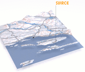 Places with similar names to Svirče, Croatia ::
Disclaimer :: Information on this page comes without warranty of any kind |
||
|
Where is Svirče? Elevation and coordinates ::
Latitude (lat): 43°9'27"N Longitude (lon): 16°38'50"E
Elevation (approx.): 82m (map arrows pan, magnifying glasses zoom) |
||
|
Visiting Svirče? Hotel/Accommodation ::
Book a hotel in Svirče Travel Guide ::
Buy a travel guide for Croatia rental cars ::
car rental offers GPS waypoint ::
download a GPX waypoint (PoI) of Svirče for your GPS receiver
|
||