|
search place name
|
||
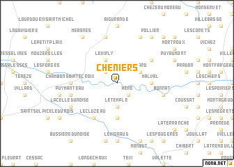
Chéniers (Limousin, France)Chéniers is a town in the Limousin region of France. An overview map of the region around Chéniers is displayed below.
regional and 3d topo map of Chéniers, France ::
Chéniers airports ::
The nearest airport is MCU - Montlucon-gueret Montlucon Gueret, located 43.3 km east of Chéniers.
Other airports nearby include MCU - Montlucon Domerat (56.7 km east), CHR - Chateauroux Deols (57.5 km north), LIG - Limoges Bellegarde (74.1 km south west), BOU - Bourges (88.8 km north east), Nearby towns ::
La Sagne (2.3km north west) //
Héré (2.3km south east) //
Le Temple (3.7km south) //
Le Virly (3.9km north) //
Linard (3.2km north east) //
Malval (3.8km east) //
Le Bourg-dʼHem (5.6km south) //
Laiguillon (5.3km north east) //
Le Cluzeau (6.1km south west) //
Chambon-Sainte-Croix (5.1km west) //
Puy-Manteau (5.4km west) //
Lourdoueix-Saint-Pierre (7.5km north) //
Bonnat (5.4km east) //
La Celle-Dunoise (6.3km south west) //
Beauregard (7.8km north) //
Méasnes (8.3km north west) //
Pollier (8.3km north east) //
La Forêt-du-Temple (9.0km north east) //
[all distances 'as the bird flies' and approximate] 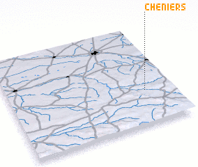 Places with similar names to Chéniers, France ::
// Chīn-e Rūzah (IR)
// Chinners (US)
// Chināia Ārāzi (BD)
// Chanares (CO)
// Chánares (CO)
// Chaniers (FR)
// Cheniers (FR)
// Chénières (FR)
Disclaimer :: Information on this page comes without warranty of any kind |
||
|
Where is Chéniers? Elevation and coordinates ::
Latitude (lat): 46°21'0"N Longitude (lon): 1°50'0"E
Elevation (approx.): 281m (map arrows pan, magnifying glasses zoom) |
||
|
Visiting Chéniers? Hotel/Accommodation ::
Book a hotel in Chéniers Travel Guide ::
Buy a travel guide for France rental cars ::
car rental offers GPS waypoint ::
download a GPX waypoint (PoI) of Chéniers for your GPS receiver
|
||