|
search place name
|
||
Guécélard (Pays de la Loire, France)Guécélard is a town in the Pays de la Loire region of France. An overview map of the region around Guécélard is displayed below.
regional and 3d topo map of Guécélard, France ::

Guécélard airports ::
The nearest airport is LME - Le Mans Arnage, located 8.9 km north east of Guécélard.
Other airports nearby include TUF - Tours Val De Loire (67.1 km south east), LVA - Laval Entrammes (67.5 km west), CET - Cholet Le Pontreau (117.2 km south west), ORE - Orleans Bricy (122.1 km east), Nearby towns ::
Tassé (0.0km north) //
Fillé (1.9km north) //
Parigné-le-Pôlin (3.9km south) //
Spay (3.9km north) //
Yvré-le-Pôlin (7.5km south) //
Roézé-sur-Sarthe (5.3km west) //
Moncé-en-Belin (5.3km east) //
Arnage (6.7km north east) //
Oizé (7.8km south) //
Bois Gars (6.2km south east) //
Les Loges (6.2km north east) //
Cérans-Foulletourte (7.5km south west) //
Voivres-lès-le-Mans (7.5km north west) //
Les Guegilets (7.5km north east) //
Étival-lès-Le Mans (8.3km north west) //
[all distances 'as the bird flies' and approximate] 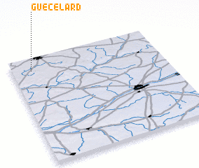 Places with similar names to Guécélard, France ::
Disclaimer :: Information on this page comes without warranty of any kind |
||
|
Where is Guécélard? Elevation and coordinates ::
Latitude (lat): 47°53'0"N Longitude (lon): 0°8'0"W
Elevation (approx.): 38m (map arrows pan, magnifying glasses zoom) |
||
|
Visiting Guécélard? Hotel/Accommodation ::
Book a hotel in Guécélard Travel Guide ::
Buy a travel guide for France rental cars ::
car rental offers GPS waypoint ::
download a GPX waypoint (PoI) of Guécélard for your GPS receiver
|
||