|
search place name
|
||
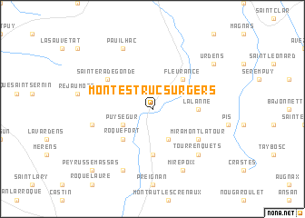
Montestruc-sur-Gers (Midi-Pyrénées, France)Montestruc-sur-Gers is a town in the Midi-Pyrénées region of France. An overview map of the region around Montestruc-sur-Gers is displayed below.
regional and 3d topo map of Montestruc-sur-Gers, France ::
Montestruc-sur-Gers airports ::
The nearest airport is AGF - Agen La Garenne, located 41.8 km north of Montestruc-sur-Gers.
Other airports nearby include TLS - Toulouse Blagnac (61.9 km east), LRH - La Rochelle Lherm (64.1 km south east), LDE - Tarbes Lourdes (86.3 km south west), PUF - Pau Pyrenees (96.9 km south west), Nearby towns ::
Gavarret (3.9km south) //
Puységur (3.3km south west) //
Roquefort (4.6km south west) //
Fleurance (4.6km north east) //
Sainte-Christie (5.6km south) //
Lalanne (4.0km east) //
Céran (4.4km north east) //
Miramont-Latour (5.5km south east) //
Sainte-Radegonde (5.5km north west) //
Préchac (5.7km west) //
Tourrenquets (6.9km south east) //
Arcamont (7.9km south) //
Pauilhac (7.9km north) //
Mirepoix (7.9km south) //
Urdens (7.7km north east) //
Peyrusse-Massas (9.1km south west) //
[all distances 'as the bird flies' and approximate] 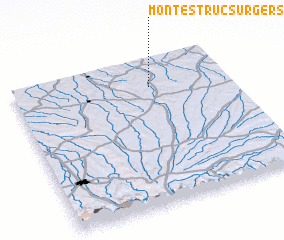 Places with similar names to Montestruc-sur-Gers, France :: Disclaimer :: Information on this page comes without warranty of any kind |
||
|
Where is Montestruc-sur-Gers? Elevation and coordinates ::
Latitude (lat): 43°48'0"N Longitude (lon): 0°38'0"W
Elevation (approx.): 132m (map arrows pan, magnifying glasses zoom) |
||
|
Visiting Montestruc-sur-Gers? Hotel/Accommodation ::
Book a hotel in Montestruc-sur-Gers Travel Guide ::
Buy a travel guide for France rental cars ::
car rental offers GPS waypoint ::
download a GPX waypoint (PoI) of Montestruc-sur-Gers for your GPS receiver
|
||