|
search place name
|
||
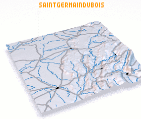
Saint-Germain-du-Bois (Bourgogne, France)Saint-Germain-du-Bois is a town in the Bourgogne region of France. An overview map of the region around Saint-Germain-du-Bois is displayed below.
regional and 3d topo map of Saint-Germain-du-Bois, France ::

Saint-Germain-du-Bois airports ::
The nearest airport is XCD - Chalon Champforgeuil, located 34.1 km west of Saint-Germain-du-Bois.
Other airports nearby include DLE - Dole Tavaux (34.9 km north east), DIJ - Dijon Longvic (59.0 km north), XBK - Bourg Ceyzeriat (61.1 km south), QNX - Macon Charnay (61.4 km south west), Nearby towns ::
 Places with similar names to Saint-Germain-du-Bois, France :: Disclaimer :: Information on this page comes without warranty of any kind |
||
|
Where is Saint-Germain-du-Bois? Elevation and coordinates ::
Latitude (lat): 46°45'0"N Longitude (lon): 5°15'0"E
Elevation (approx.): 204m (map arrows pan, magnifying glasses zoom) |
||
|
Visiting Saint-Germain-du-Bois? Hotel/Accommodation ::
Book a hotel in Saint-Germain-du-Bois Travel Guide ::
Buy a travel guide for France rental cars ::
car rental offers GPS waypoint ::
download a GPX waypoint (PoI) of Saint-Germain-du-Bois for your GPS receiver
|
||