|
search place name
|
||
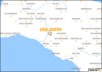
Koúlouros (Piraiévs, Greece)Koúlouros is a town in the Piraiévs region of Greece. An overview map of the region around Koúlouros is displayed below.
regional and 3d topo map of Koúlouros, Greece ::
Koúlouros airports ::
The nearest airport is JSI - Skiathos Alexandros Papadiamantis, located 42.4 km north east of Koúlouros.
Other airports nearby include VOL - Nea Anghialos Nea Anchialos (56.9 km north west), SKU - Skiros (108.1 km east), LRA - Larissa Larisa (111.7 km north west), AGQ - Agrinion (167.4 km west), Nearby towns ::
Ayiannákos (1.9km south) //
Maroúlion (2.3km north west) //
Dhrimóna (2.9km east) //
Palaiokhórion (3.7km south) //
Kalamoúdhion (3.4km south east) //
Símia (3.4km north west) //
Dhamiá (4.0km south) //
Roviaí (4.0km south) //
Áyios Vasílios (4.3km east) //
Kokkinomiléa (5.7km north) //
Kiparíssion (6.3km north west) //
Khrónia (7.6km south) //
Voutás (8.0km north) //
Kamatriádhes (8.0km north west) //
Monokariá (8.6km north west) //
Retsinólakkos (8.6km south east) //
Metókhi (9.4km north west) //
[all distances 'as the bird flies' and approximate] 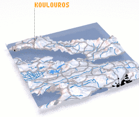 Places with similar names to Koúlouros, Greece ::
Disclaimer :: Information on this page comes without warranty of any kind |
||
|
Where is Koúlouros? Elevation and coordinates ::
Latitude (lat): 38°51'0"N Longitude (lon): 23°15'0"E
Elevation (approx.): 620m (map arrows pan, magnifying glasses zoom) |
||
|
Visiting Koúlouros? Hotel/Accommodation ::
Book a hotel in Koúlouros Travel Guide ::
Buy a travel guide for Greece rental cars ::
car rental offers GPS waypoint ::
download a GPX waypoint (PoI) of Koúlouros for your GPS receiver
|
||