|
search place name
|
||
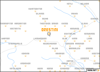
Orestiní (Piraiévs, Greece)Orestiní is a town in the Piraiévs region of Greece. An overview map of the region around Orestiní is displayed below.
regional and 3d topo map of Orestiní, Greece ::
Orestiní airports ::
The nearest airport is KVA - Kavala Megas Alexandros Intl, located 39.2 km south west of Orestiní.
Other airports nearby include PDV - Plovdiv (92.7 km north), AXD - Alexandroupolis Dimokritos (104.6 km south east), LXS - Limnos (150.4 km south), SKG - Thessaloniki Makedonia (174.6 km south west), Nearby towns ::
Kriós (2.3km south west) //
Yérakas (3.7km south) //
Méga Évmoiron (3.7km south) //
Likodhrómion (3.3km south west) //
Oraíon (4.0km north) //
Theotókos (4.0km north) //
Smínthi (4.2km east) //
Pílima (5.7km south) //
Álma (4.6km south east) //
Révma (5.7km north) //
Kíknos (5.6km north east) //
Eskí Tarlás (5.6km east) //
Gorgóna (6.7km south east) //
Makárion (7.9km south) //
Silmín Ós (7.9km north) //
[all distances 'as the bird flies' and approximate] 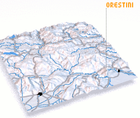 Places with similar names to Orestiní, Greece ::
Disclaimer :: Information on this page comes without warranty of any kind |
||
|
Where is Orestiní? Elevation and coordinates ::
Latitude (lat): 41°14'0"N Longitude (lon): 24°49'0"E
Elevation (approx.): 514m (map arrows pan, magnifying glasses zoom) |
||
|
Visiting Orestiní? Hotel/Accommodation ::
Book a hotel in Orestiní Travel Guide ::
Buy a travel guide for Greece rental cars ::
car rental offers GPS waypoint ::
download a GPX waypoint (PoI) of Orestiní for your GPS receiver
|
||