|
search place name
|
||
Pomarão (Beja, Portugal)Pomarão is a town in the Beja region of Portugal. An overview map of the region around Pomarão is displayed below.
regional and 3d topo map of Pomarão, Portugal ::

Pomarão airports ::
The nearest airport is FAO - Faro, located 70.7 km south west of Pomarão.
Other airports nearby include SVQ - Sevilla (145.8 km east), XRY - Jerez (158.5 km south east), BJZ - Badajoz Talavera La Real (161.4 km north), OZP - Sevilla Moron Ab (174.9 km east), Nearby towns ::
Mesquita (1.9km south) //
Monte Vascão (3.7km south) //
Salgueiros (3.7km north) //
Picoitos (4.7km north west) //
Afonso Vicente (5.6km south) //
Bens (5.6km north) //
Cortes Pereiras (5.8km south) //
Colgadeiros (4.8km south west) //
Puerto de la Laja (5.8km south east) //
Santa Marta (6.3km south west) //
Monte Alves (6.3km north west) //
Santana de Cambas (7.4km north) //
São Martinho (7.6km south) //
Sedas (6.2km west) //
Zambujal (6.9km south west) //
[all distances 'as the bird flies' and approximate] 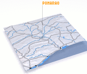 Places with similar names to Pomarão, Portugal ::
Disclaimer :: Information on this page comes without warranty of any kind |
||
|
Where is Pomarão? Elevation and coordinates ::
Latitude (lat): 37°33'0"N Longitude (lon): 7°32'0"W
Elevation (approx.): 73m (map arrows pan, magnifying glasses zoom) |
||
|
Visiting Pomarão? Hotel/Accommodation ::
Book a hotel in Pomarão Travel Guide ::
Buy a travel guide for Portugal rental cars ::
car rental offers GPS waypoint ::
download a GPX waypoint (PoI) of Pomarão for your GPS receiver
|
||