|
search place name
|
||
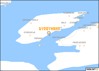
Dyrøyhamn (Troms, Norway)Dyrøyhamn is a town in the Troms region of Norway. An overview map of the region around Dyrøyhamn is displayed below.
regional and 3d topo map of Dyrøyhamn, Norway ::
Dyrøyhamn airports ::
The nearest airport is BDU - Bardufoss, located 43.8 km east of Dyrøyhamn.
Other airports nearby include ANX - Andoya (60.3 km north west), EVE - Evenes (66.4 km south west), TOS - Tromso Langnes (94.2 km north east), Nearby towns ::
Forså (2.3km north east) //
Kastneshamn (2.3km south east) //
Nordhus (2.6km south west) //
Mikkelbostad (3.9km south) //
Holm (4.2km north east) //
Lille Vinje (2.7km west) //
Store Vinje (2.7km west) //
Søndre Storelv (5.4km north west) //
Skogshamn (7.9km north) //
[all distances 'as the bird flies' and approximate] 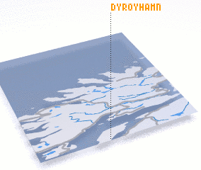 Places with similar names to Dyrøyhamn, Norway ::
// Douar Rehamna (MA)
// Tirhambouine (MA)
// Darhamān (IR)
// Douar Rehamna (MA)
// Douar Hamouni (MA)
// Douar Rehamena (MA)
// Douar RʼHamnia (DZ)
// Douar Hamiane (DZ)
// Trhomné (CZ)
// Törehamn (SE)
Disclaimer :: Information on this page comes without warranty of any kind |
||
|
Where is Dyrøyhamn? Elevation and coordinates ::
Latitude (lat): 69°1'0"N Longitude (lon): 17°27'0"E
(map arrows pan, magnifying glasses zoom) |
||
|
Visiting Dyrøyhamn? Hotel/Accommodation ::
Book a hotel in Dyrøyhamn Travel Guide ::
Buy a travel guide for Norway rental cars ::
car rental offers GPS waypoint ::
download a GPX waypoint (PoI) of Dyrøyhamn for your GPS receiver
|
||