|
search place name
|
||
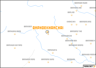
Amphoe Khamcha-i (Thailand)Amphoe Khamcha-i is a town in Thailand. An overview map of the region around Amphoe Khamcha-i is displayed below.
regional and 3d topo map of Amphoe Khamcha-i, Thailand ::
Amphoe Khamcha-i airports ::
The nearest airport is ZVK - Savannakhet, located 45.5 km east of Amphoe Khamcha-i.
Other airports nearby include SNO - Sakon Nakhon (75.0 km north), UTH - Udon Thani (188.8 km north west), PKZ - Pakse (220.6 km south east), VTE - Vientiane Wattay Intl (246.5 km north west), Nearby towns ::
Ban Lao (0.0km north) //
Ban Na Pung (4.0km north east) //
Ban Kaeng Chang Nian (5.6km west) //
Nong Sung (7.6km south) //
Ban Huai Sai (7.3km east) //
[all distances 'as the bird flies' and approximate] 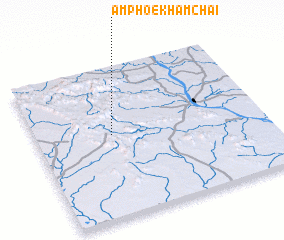 Places with similar names to Amphoe Khamcha-i, Thailand :: Disclaimer :: Information on this page comes without warranty of any kind |
||
|
Where is Amphoe Khamcha-i? Elevation and coordinates ::
Latitude (lat): 16°33'0"N Longitude (lon): 104°20'0"E
Elevation (approx.): 255m (map arrows pan, magnifying glasses zoom) |
||
|
Visiting Amphoe Khamcha-i? Hotel/Accommodation ::
Book a hotel in Amphoe Khamcha-i Travel Guide ::
Buy a travel guide for Thailand rental cars ::
car rental offers GPS waypoint ::
download a GPX waypoint (PoI) of Amphoe Khamcha-i for your GPS receiver
|
||