|
search place name
|
||
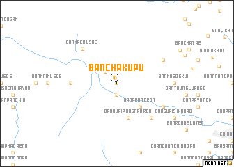
Ban Cha Ku Pu (Thailand)Ban Cha Ku Pu is a town in Thailand. An overview map of the region around Ban Cha Ku Pu is displayed below.
regional and 3d topo map of Ban Cha Ku Pu, Thailand ::
Ban Cha Ku Pu airports ::
The nearest airport is THL - Tachilek Tachileik, located 62.1 km north east of Ban Cha Ku Pu.
Other airports nearby include MOG - Mong Hsat (72.9 km north west), KET - Kengtung (146.0 km north), LPT - Lampang (190.3 km south), PRH - Phrae (211.5 km south), Nearby towns ::
Ban Ai Bu (0.0km north) //
Ban Yang Mai (1.9km south) //
Ban Chae Chai (2.5km north west) //
Ban Prong Ron (5.1km south east) //
Ban Huai Pong Nam Ron (5.8km south) //
Ban Khrae Yao (7.0km west) //
Ban Mae Mu Soe (7.6km north west) //
Ban Mae Aep (7.6km south east) //
Ban Pong Na Kham (7.9km south east) //
Ban Khrae Yao Doi Bo (7.9km north east) //
[all distances 'as the bird flies' and approximate] 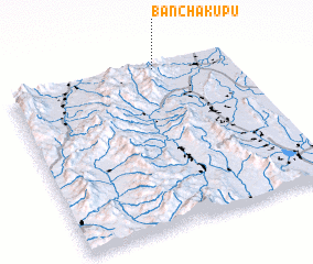 Places with similar names to Ban Cha Ku Pu, Thailand ::
// Ban Chakup (LA)
Disclaimer :: Information on this page comes without warranty of any kind |
||
|
Where is Ban Cha Ku Pu? Elevation and coordinates ::
Latitude (lat): 19°59'0"N Longitude (lon): 99°40'0"E
Elevation (approx.): 660m (map arrows pan, magnifying glasses zoom) |
||
|
Visiting Ban Cha Ku Pu? Hotel/Accommodation ::
Book a hotel in Ban Cha Ku Pu Travel Guide ::
Buy a travel guide for Thailand rental cars ::
car rental offers GPS waypoint ::
download a GPX waypoint (PoI) of Ban Cha Ku Pu for your GPS receiver
|
||