|
search place name
|
||
Ban Chom Kaeo (Chaiyaphum, Thailand)Ban Chom Kaeo is a town in the Chaiyaphum region of Thailand. An overview map of the region around Ban Chom Kaeo is displayed below.
regional and 3d topo map of Ban Chom Kaeo, Thailand ::

Ban Chom Kaeo airports ::
The nearest airport is NAK - Nakhon Ratchasima Khorat, located 74.6 km south east of Ban Chom Kaeo.
Other airports nearby include BKK - Bangkok Intl (204.5 km south west), PHS - Phitsanulok (206.7 km north west), LOE - Loei (219.1 km north), UTH - Udon Thani (245.7 km north east), Nearby towns ::
Ban Don Mo Kaeng (2.1km south west) //
Ban Kut Ta Lat (4.2km south) //
Ban Phet (4.3km east) //
Ban Pak Chap (5.0km south west) //
Ban Nong Waeng (5.9km south east) //
Bamnet Narong (6.5km north east) //
Ban Makok Ngam (7.1km west) //
Ban Khok (7.4km east) //
Ban Khok Hin Tang (7.8km south) //
Ban Nong Han (8.3km south) //
Ban Khok Roeng Rom (8.5km south west) //
Ban Lam Ping (8.4km east) //
Ban Na Lalai (8.5km west) //
Ban Taluk Lan (9.0km north) //
Ban Nong Kok (10.5km south east) //
[all distances 'as the bird flies' and approximate] 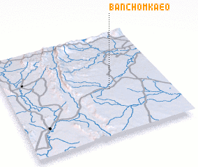 Places with similar names to Ban Chom Kaeo, Thailand ::
// Ban Cham Ka (TH)
// Ban Chao Mai (2) (TH)
// Ban Chomka (LA)
// Buôn Cham (2) (VN)
// Buôn Tiam (2) (VN)
Disclaimer :: Information on this page comes without warranty of any kind |
||
|
Where is Ban Chom Kaeo? Elevation and coordinates ::
Latitude (lat): 15°27'38"N Longitude (lon): 101°38'38"E
Elevation (approx.): 218m (map arrows pan, magnifying glasses zoom) |
||
|
Visiting Ban Chom Kaeo? Hotel/Accommodation ::
Book a hotel in Ban Chom Kaeo Travel Guide ::
Buy a travel guide for Thailand rental cars ::
car rental offers GPS waypoint ::
download a GPX waypoint (PoI) of Ban Chom Kaeo for your GPS receiver
|
||