|
search place name
|
||
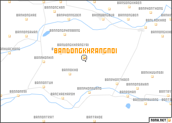
Ban Dong Khrang Noi (Roi Et, Thailand)Ban Dong Khrang Noi is a town in the Roi Et region of Thailand. An overview map of the region around Ban Dong Khrang Noi is displayed below.
regional and 3d topo map of Ban Dong Khrang Noi, Thailand ::
Ban Dong Khrang Noi airports ::
The nearest airport is ZVK - Savannakhet, located 171.9 km north east of Ban Dong Khrang Noi.
Other airports nearby include NAK - Nakhon Ratchasima Khorat (172.4 km west), SNO - Sakon Nakhon (194.9 km north), UTH - Udon Thani (223.0 km north), LOE - Loei (289.9 km north west), Nearby towns ::
Ban Dong Khrang Yai (3.9km north west) //
Ban Phon Thon (4.0km north east) //
Ban Nok Ho (4.3km south west) //
Ban Sa Hong (5.7km west) //
Ban Phon Muang (6.8km south) //
Ban Nong Phra Bang (7.3km north west) //
Ban Phon Thaen (8.2km south east) //
Ban Chaem Arom (9.4km south west) //
[all distances 'as the bird flies' and approximate] 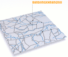 Places with similar names to Ban Dong Khrang Noi, Thailand :: Disclaimer :: Information on this page comes without warranty of any kind |
||
|
Where is Ban Dong Khrang Noi? Elevation and coordinates ::
Latitude (lat): 15°31'0"N Longitude (lon): 103°34'0"E
Elevation (approx.): 129m (map arrows pan, magnifying glasses zoom) |
||
|
Visiting Ban Dong Khrang Noi? Hotel/Accommodation ::
Book a hotel in Ban Dong Khrang Noi Travel Guide ::
Buy a travel guide for Thailand rental cars ::
car rental offers GPS waypoint ::
download a GPX waypoint (PoI) of Ban Dong Khrang Noi for your GPS receiver
|
||