|
search place name
|
||
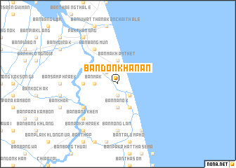
Ban Don Khanan (Nakhon Si Thammarat, Thailand)Ban Don Khanan is a town in the Nakhon Si Thammarat region of Thailand. An overview map of the region around Ban Don Khanan is displayed below.
regional and 3d topo map of Ban Don Khanan, Thailand ::
Ban Don Khanan airports ::
The nearest airport is NST - Nakhon Si Thammarat Cha Ian, located 38.5 km north west of Ban Don Khanan.
Other airports nearby include TST - Trang (110.5 km south west), HDY - Songkhla Hat Yai Intl (150.1 km south), PAN - Pattani (193.4 km south east), HKT - Phuket Intl (213.8 km west), Nearby towns ::
Ban Sa (1.9km south) //
Ban Hua Pa (2.6km south east) //
Ban Tha Ya Nok (2.6km north west) //
Ban Bang Krut (1) (2.6km north west) //
Ban Mak (3.7km west) //
Ban Na Nok (3.7km south) //
Ban Makham Thet (3.7km north) //
Ban Ko Thang (4.1km south east) //
Ban Hoi Kan (5.5km west) //
Ban Phoeng (5.5km west) //
Ban Bang Mun (6.7km north west) //
Ban Bang Duan (1) (6.6km south west) //
Ban Nong Lan (7.4km south) //
Ban Khanap Nak (7.4km south) //
Ban Bang Khem (7.8km south west) //
Ban Na Kot (8.3km south east) //
Ban Pak Phraek (9.2km south west) //
Pak Phanang (9.2km north west) //
[all distances 'as the bird flies' and approximate] 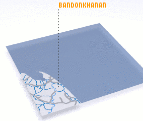 Places with similar names to Ban Don Khanan, Thailand ::
// Ban Ton Khanun (TH)
Disclaimer :: Information on this page comes without warranty of any kind |
||
|
Where is Ban Don Khanan? Elevation and coordinates ::
Latitude (lat): 8°17'0"N Longitude (lon): 100°15'0"E
Elevation (approx.): 4m (map arrows pan, magnifying glasses zoom) |
||
|
Visiting Ban Don Khanan? Hotel/Accommodation ::
Book a hotel in Ban Don Khanan Travel Guide ::
Buy a travel guide for Thailand rental cars ::
car rental offers GPS waypoint ::
download a GPX waypoint (PoI) of Ban Don Khanan for your GPS receiver
|
||