|
search place name
|
||
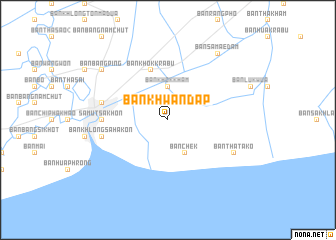
Ban Khwan Dap (Samut Sakhon, Thailand)Ban Khwan Dap is a town in the Samut Sakhon region of Thailand. An overview map of the region around Ban Khwan Dap is displayed below.
regional and 3d topo map of Ban Khwan Dap, Thailand ::
Ban Khwan Dap airports ::
The nearest airport is BKK - Bangkok Intl, located 50.3 km north east of Ban Khwan Dap.
Other airports nearby include HHQ - Prachuap Khiri Khan Hua Hin (108.2 km south west), UTP - Rayong U Taphao Intl (118.1 km south east), MGZ - Myeik (223.2 km south west), NAK - Nakhon Ratchasima Khorat (242.6 km north east), Nearby towns ::
Ban Khok Kham (3.7km north) //
Ban Khom (4.1km north west) //
Ban Chek (4.1km south east) //
Ban Khok Krabu (5.8km north) //
Samut Sakhon (7.2km west) //
Ban Laem (7.2km west) //
Ban Khlong Sahakon (7.4km west) //
Ban Khlong Bang Bon (7.4km west) //
Ban Tha Tako (8.1km south east) //
Ban Bang Ping (9.1km north west) //
Ban Samae Dam (9.2km north east) //
[all distances 'as the bird flies' and approximate] 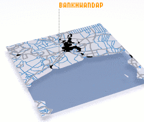 Places with similar names to Ban Khwan Dap, Thailand :: Disclaimer :: Information on this page comes without warranty of any kind |
||
|
Where is Ban Khwan Dap? Elevation and coordinates ::
Latitude (lat): 13°32'0"N Longitude (lon): 100°21'0"E
(map arrows pan, magnifying glasses zoom) |
||
|
Visiting Ban Khwan Dap? Hotel/Accommodation ::
Book a hotel in Ban Khwan Dap Travel Guide ::
Buy a travel guide for Thailand rental cars ::
car rental offers GPS waypoint ::
download a GPX waypoint (PoI) of Ban Khwan Dap for your GPS receiver
|
||