|
search place name
|
||
Ban Mai Hung (Mae Hong Son, Thailand)Ban Mai Hung is a town in the Mae Hong Son region of Thailand. An overview map of the region around Ban Mai Hung is displayed below.
regional and 3d topo map of Ban Mai Hung, Thailand ::

Ban Mai Hung airports ::
The nearest airport is MOG - Mong Hsat, located 147.5 km north east of Ban Mai Hung.
Other airports nearby include HEH - Heho (194.5 km north west), LPT - Lampang (201.4 km south east), THL - Tachilek Tachileik (203.8 km north east), KET - Kengtung (238.2 km north east), Nearby towns ::
Ban Mae Lana (3.7km south) //
Wān Namhsam-ong (9.3km north east) //
[all distances 'as the bird flies' and approximate] 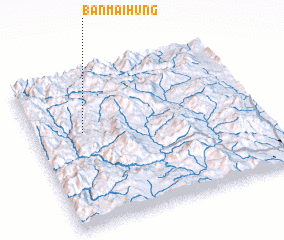 Places with similar names to Ban Mai Hung, Thailand ::
// Ban Mae Hang (TH)
// Ban Mae Hang (TH)
// Ban Mae Hang (TH)
// Ban Mae Hang (TH)
// Ban Mahaeng (TH)
// Ban Mai Hung (TH)
// Ban Maihiang (LA)
// Ban Na Mahong (LA)
// Ban Namhang (LA)
// Ban Namheng (LA)
Disclaimer :: Information on this page comes without warranty of any kind |
||
|
Where is Ban Mai Hung? Elevation and coordinates ::
Latitude (lat): 19°37'0"N Longitude (lon): 98°13'0"E
Elevation (approx.): 952m (map arrows pan, magnifying glasses zoom) |
||
|
Visiting Ban Mai Hung? Hotel/Accommodation ::
Book a hotel in Ban Mai Hung Travel Guide ::
Buy a travel guide for Thailand rental cars ::
car rental offers GPS waypoint ::
download a GPX waypoint (PoI) of Ban Mai Hung for your GPS receiver
|
||