|
search place name
|
||
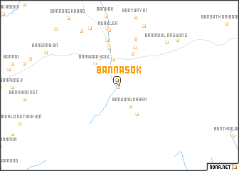
Ban Na Sok (Sara Buri, Thailand)Ban Na Sok is a town in the Sara Buri region of Thailand. An overview map of the region around Ban Na Sok is displayed below.
regional and 3d topo map of Ban Na Sok, Thailand ::
Ban Na Sok airports ::
The nearest airport is BKK - Bangkok Intl, located 99.5 km south west of Ban Na Sok.
Other airports nearby include NAK - Nakhon Ratchasima Khorat (100.4 km north east), UTP - Rayong U Taphao Intl (212.1 km south), HHQ - Prachuap Khiri Khan Hua Hin (255.5 km south west), Nearby towns ::
Ban Muak Lek Nai (0.3km south west) //
Ban Rai Nong Yang (2.6km north west) //
Ban Wang Phaem (3.7km south east) //
Ban Khan Takhian (4.2km north) //
Ban Sap Phrik (5.0km north west) //
Ban Huai Sok Noi (5.2km south east) //
Ban Suphan (5.3km north) //
Ban Sathani Phut Rai (6.1km north) //
Ban Sap Champa (6.4km north) //
Ban Muak Lek (7.4km north) //
Ban Nam Sap (7.7km north) //
Muaklek (8.8km north) //
Ban Rai Klang Dong (9.9km north east) //
Ban Sap Bon (10.4km north west) //
[all distances 'as the bird flies' and approximate] 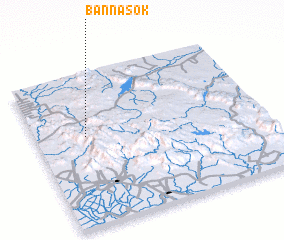 Places with similar names to Ban Na Sok, Thailand ::
// Bansag (PH)
// Bünsche (DE)
// Ban Na Sak (TH)
// Ban Na Sok (TH)
// Ban Na Sok (TH)
// Ban Na Sok (TH)
// Ban Sa Kae (TH)
// Ban Sakae (TH)
// Ban Sakae (TH)
// Ban Sakae (TH)
Disclaimer :: Information on this page comes without warranty of any kind |
||
|
Where is Ban Na Sok? Elevation and coordinates ::
Latitude (lat): 14°35'9"N Longitude (lon): 101°13'4"E
Elevation (approx.): 264m (map arrows pan, magnifying glasses zoom) |
||
|
Visiting Ban Na Sok? Hotel/Accommodation ::
Book a hotel in Ban Na Sok Travel Guide ::
Buy a travel guide for Thailand rental cars ::
car rental offers GPS waypoint ::
download a GPX waypoint (PoI) of Ban Na Sok for your GPS receiver
|
||