|
search place name
|
||
Ban Nong Krathum (Nakhon Sawan, Thailand)Ban Nong Krathum is a town in the Nakhon Sawan region of Thailand. An overview map of the region around Ban Nong Krathum is displayed below.
regional and 3d topo map of Ban Nong Krathum, Thailand ::

Ban Nong Krathum airports ::
The nearest airport is PHS - Phitsanulok, located 121.8 km north of Ban Nong Krathum.
Other airports nearby include BKK - Bangkok Intl (215.6 km south), LOE - Loei (269.4 km north east), Nearby towns ::
Ban Don Phutsa (3.7km north east) //
Ban Noen Makha (4.7km north) //
Ban Hin Kon (4.6km east) //
Ban Wang Noi (4.9km south west) //
Ban Nong Nom Wua (4.9km north west) //
Ban Nong Kraduk Nua (6.2km north west) //
Ban Nong Yao (6.9km west) //
Ban Nong Pham (7.2km west) //
Ban Khao Mano (7.5km north) //
Ban Nong Rong (3) (8.2km east) //
Ban Nong Maeo (8.4km north east) //
Ban Yang Thon (8.2km west) //
Ban Nong Ben (1) (8.4km east) //
Ban Salatdai (1) (8.6km west) //
Ban Don Yao (8.8km north west) //
Ban Nong Bua (8.8km south east) //
Ban Nong Kradon (10.0km north east) //
Ban Noen Khaneng (11.1km south east) //
Ban Nong Rong (11.1km south east) //
Ban Nong Khaneng (11.2km south east) //
[all distances 'as the bird flies' and approximate] 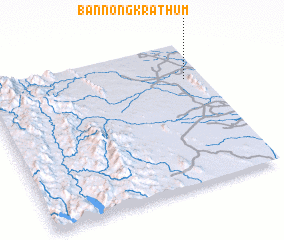 Places with similar names to Ban Nong Krathum, Thailand ::
// Ban Nong Krathum (TH)
// Ban Nong Krathum (TH)
// Ban Nong Krathum (TH)
// Ban Nong Krathum (TH)
// Ban Nong Krathum (TH)
// Ban Nong Krathum (TH)
// Ban Nong Krathum (TH)
// Ban Nong Krathum (TH)
// Ban Nong Krathum (TH)
// Ban Nong Krathum (TH)
Disclaimer :: Information on this page comes without warranty of any kind |
||
|
Where is Ban Nong Krathum? Elevation and coordinates ::
Latitude (lat): 15°44'26"N Longitude (lon): 99°54'48"E
Elevation (approx.): 45m (map arrows pan, magnifying glasses zoom) |
||
|
Visiting Ban Nong Krathum? Hotel/Accommodation ::
Book a hotel in Ban Nong Krathum Travel Guide ::
Buy a travel guide for Thailand rental cars ::
car rental offers GPS waypoint ::
download a GPX waypoint (PoI) of Ban Nong Krathum for your GPS receiver
|
||