|
search place name
|
||
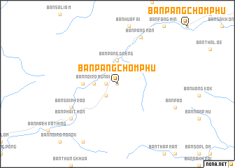
Ban Pang Chomphu (Thailand)Ban Pang Chomphu is a town in Thailand. An overview map of the region around Ban Pang Chomphu is displayed below.
regional and 3d topo map of Ban Pang Chomphu, Thailand ::
Ban Pang Chomphu airports ::
The nearest airport is PRH - Phrae, located 48.7 km south west of Ban Pang Chomphu.
Other airports nearby include LPT - Lampang (106.8 km west), LOE - Loei (169.9 km south east), PHS - Phitsanulok (184.2 km south), LPQ - Luang Prabang Luang Phabang Intl (238.3 km north east), Nearby towns ::
Ban Fang Min (0.0km north) //
Ban Huai Sai Tun (1.8km west) //
Ban Noi Rong Nok (2.6km south west) //
Ban Noi Rong Nai (3.5km west) //
Ban Pang Daeng (3.7km north) //
Ban Nam Phu Noi (5.3km west) //
Ban Pang Mon (8.2km north east) //
Ban Sai Phrao (8.0km south west) //
Ban Huai Kaet (9.0km south west) //
Ban Phai Thon (9.0km south west) //
[all distances 'as the bird flies' and approximate] 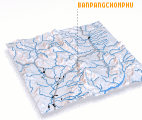 Places with similar names to Ban Pang Chomphu, Thailand ::
// Ban Pang Chomphu (TH)
Disclaimer :: Information on this page comes without warranty of any kind |
||
|
Where is Ban Pang Chomphu? Elevation and coordinates ::
Latitude (lat): 18°26'0"N Longitude (lon): 100°30'0"E
Elevation (approx.): 818m (map arrows pan, magnifying glasses zoom) |
||
|
Visiting Ban Pang Chomphu? Hotel/Accommodation ::
Book a hotel in Ban Pang Chomphu Travel Guide ::
Buy a travel guide for Thailand rental cars ::
car rental offers GPS waypoint ::
download a GPX waypoint (PoI) of Ban Pang Chomphu for your GPS receiver
|
||