|
search place name
|
||
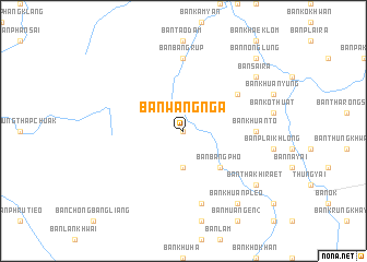
Ban Wang Nga (Surat Thani, Thailand)Ban Wang Nga is a town in the Surat Thani region of Thailand. An overview map of the region around Ban Wang Nga is displayed below.
regional and 3d topo map of Ban Wang Nga, Thailand ::
Ban Wang Nga airports ::
The nearest airport is NST - Nakhon Si Thammarat Cha Ian, located 78.9 km east of Ban Wang Nga.
Other airports nearby include TST - Trang (101.4 km south east), HKT - Phuket Intl (106.1 km west), HDY - Songkhla Hat Yai Intl (201.1 km south east), PAN - Pattani (272.1 km south east), Nearby towns ::
Ban Bang Yai (0.0km north) //
Ban Bang Liang (3.7km south) //
Ban Bang Pho (5.2km south east) //
Ban Khlong Phiang (6.6km north east) //
Ban Khuan To (7.3km east) //
Ban Bang Rup (7.4km north) //
Ban Bang Sai (7.6km south) //
Ban Huai San (7.6km south) //
Ban Khuan Pleo (9.2km south east) //
Ban Tha Khi Raet (9.2km south east) //
Ban Sai Ra (9.2km north east) //
Ban Nong Lung (10.4km north east) //
Ban Khlai Song Chong (10.4km north east) //
[all distances 'as the bird flies' and approximate] 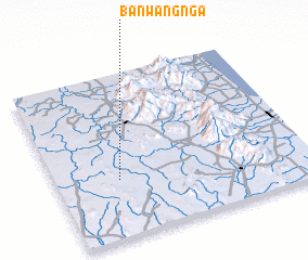 Places with similar names to Ban Wang Nga, Thailand ::
// Ban Wang Nak (TH)
Disclaimer :: Information on this page comes without warranty of any kind |
||
|
Where is Ban Wang Nga? Elevation and coordinates ::
Latitude (lat): 8°21'0"N Longitude (lon): 99°15'0"E
Elevation (approx.): 24m (map arrows pan, magnifying glasses zoom) |
||
|
Visiting Ban Wang Nga? Hotel/Accommodation ::
Book a hotel in Ban Wang Nga Travel Guide ::
Buy a travel guide for Thailand rental cars ::
car rental offers GPS waypoint ::
download a GPX waypoint (PoI) of Ban Wang Nga for your GPS receiver
|
||