|
search place name
|
||
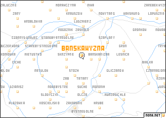
Bańska Wyżna (Poland)Bańska Wyżna is a town in Poland. An overview map of the region around Bańska Wyżna is displayed below.
regional and 3d topo map of Bańska Wyżna, Poland ::
Bańska Wyżna airports ::
The nearest airport is TAT - Poprad Tatry, located 40.9 km south east of Bańska Wyżna.
Other airports nearby include KRK - Krakow Balice (76.7 km north), SLD - Sliac (105.1 km south west), KSC - Kosice (123.2 km south east), KTW - Katowice Pyrzowice (135.9 km north west), Nearby towns ::
Bańska (1.2km east) //
Skrzypne (2.4km west) //
Bańska Niżna (2.4km east) //
Stozh (3.9km south) //
Bustryk (3.9km south) //
Międzyczerwienne (3.0km south west) //
Maruszyna (3.0km north west) //
Biały Dunajec (4.4km south east) //
Tatary (5.6km south) //
Zaskale (5.6km north) //
Ząb (6.1km south west) //
Szaflary (5.2km north east) //
Stare Bystre Dolne (5.2km north west) //
Rogożnik (6.1km north west) //
Ludźmierz (7.4km north) //
Suche (7.4km south) //
Stare Bystre (6.1km north west) //
Gliczarów (6.1km south east) //
Furmanowa (7.8km south) //
Ligasówka (7.8km south) //
Poronim (7.8km south) //
Nowe Bystre (8.3km south west) //
Kule (8.8km south west) //
[all distances 'as the bird flies' and approximate] 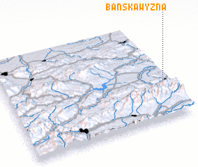 Places with similar names to Bańska Wyżna, Poland :: Disclaimer :: Information on this page comes without warranty of any kind |
||
|
Where is Bańska Wyżna? Elevation and coordinates ::
Latitude (lat): 49°24'0"N Longitude (lon): 19°59'0"E
Elevation (approx.): 738m (map arrows pan, magnifying glasses zoom) |
||
|
Visiting Bańska Wyżna? Hotel/Accommodation ::
Book a hotel in Bańska Wyżna Travel Guide ::
Buy a travel guide for Poland rental cars ::
car rental offers GPS waypoint ::
download a GPX waypoint (PoI) of Bańska Wyżna for your GPS receiver
|
||